What is recorded here
Grange held a clustered settlement near the Camoge River during the medieval period, though its exact boundary has faded from memory. People likely crossed the water at the bridge or ford, built homes close together, and sustained a local community before regional conflicts disrupted the area. The name survived through bridge references and later maps, preserving a human presence that formal records no longer define.
The precise location of a medieval clustered settlement in the townland of Grange has not been identified. Depicted as a settlement cluster on the Down Survey Barony map of Smallcounty (Hib. Reg.). Mentioned in the 1654-56 Civil Survey of Limerick (Simington 1938, 104). Possibly refers to a settlement annotated 'Sixmilebridge' on the 1840 ed. OS 6-inch map and as 'Grange' on the 1897 ed. OS 25-inch. This area is located 65m S of a bridge (LI023-063002-) crossing the Camoge River. The fording point or Bridge of 'Sixmilebridge' is depicted on the Down Survey map of Small County Barony.
See attached Down Survey Barony map of Smallcounty.
Compiled by: Alison McQueen and Vera Rahilly
Date of upload: 28 August 2020
The monument record does not grant public access. Check the route and ask the landowner before entering private land.
- What survives
- Recorded monument
Places near here
 Enclosure in Grange (smallcounty By.)Enclosure · 388 yd
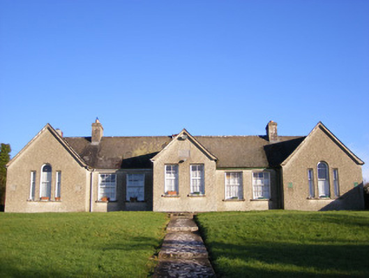 Grange National Schoolsschool · 466 yd
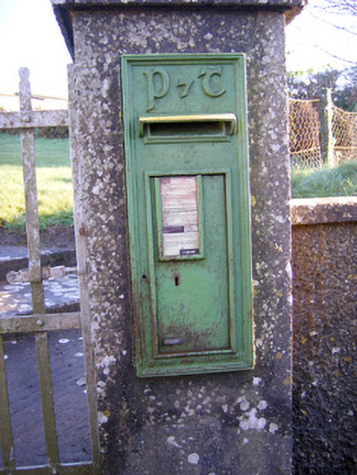 post boxpost box · 491 yd
 Field system in KilcullaneField system · 729 yd
 Bawn in Grange (smallcounty By.)Bawn · 1330 yd
 Lough GurVisitor information · 1502 yd
 Garret IslandCastle, unclassified · 1511 yd
 Grange Stone CircleArchaeological place · 1528 yd
 The SpectaclesVisitor information · 1.1 mi
 Lough Gur Heritage CentreVisitor information · 1.1 mi
 Pedunculate OakPedunculate Oak · 1.1 mi
 Banoge's WellSpring · 1.7 mi