
What is recorded here
In reclaimed wet pasture, 40m S of watercourse that marks the townland boundary with Grange. Enclosure (LI031-081----) located 15m to NW. Not depicted on OSi maps. Identified by Bruff aerial photographic survey in 1986 (Bruff 80; AP 4/3601) as earthworks attached to and surrounding an enclosure (LI031-081----). Visible as a series of small fields radiating out from enclosure (LI031-081----) on Google Earth orthoimage dated 25/03/2017. Cropmarks appear to be drainage ditches of uncertain date. Not visible on Google Earth orthoimage dated 20/09/2020.
See attached photocopy of Bruff aerial survey image and Google Earth orthoimages
Compiled by: Martin Fitzpatrick
Date of upload: 3 April 2021
The monument record does not grant public access. Check the route and ask the landowner before entering private land.
- What survives
- Recorded monument
Places near here
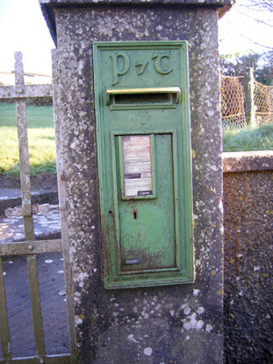 post boxpost box · 410 yd
 BarrowBarrow, ring-barrow · 414 yd
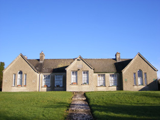 Grange National Schoolsschool · 456 yd
 Enclosure in Grange (smallcounty By.)Enclosure · 840 yd
 Bawn in Grange (smallcounty By.)Bawn · 946 yd
 Lough GurVisitor information · 1302 yd
 Grange Stone CircleArchaeological place · 1354 yd
 Garret IslandCastle, unclassified · 1717 yd
 Pedunculate OakPedunculate Oak · 1.4 mi
 The SpectaclesVisitor information · 1.4 mi
 Lough Gur Heritage CentreVisitor information · 1.4 mi
 Banoge's WellSpring · 2.0 mi
Other information
Photo: Credit not shown in the picture search · Rights wording not checked; contact us if this picture should be removed