What is recorded here
On rough poorly drained pasture, 20m SW of watercourse which forms townland boundary with Grange. The settlement of Grange Upper lies 375m to E and Lough Gur lies 1.2km to ESE. Within a field system (LI032-325----), enclosures (LI032-182001/002-) lie 90m to SE and 135m to E respectively. Depicted on the 1897 ed. OSi 25-inch map as sub-circular shaped area (37m N-S x 34m E-W) defined by a scarp and fosse. Visible on Bruff aerial photographic survey in 1986 (Bruff 70; AP4/3601) and on oblique aerial photograph (ASIAP 350 13, 14 05/01/2003) as a large sub-circular shaped enclosure, intersected at W and S by linear cropmarks . Monument visible as circular-shaped enclosure on OSi orthophoto taken between 2005-2012 and on Google Earth orthoimage taken 20/09/2020.
See attached Google Earth orthoimages
Compiled by: Fiona Rooney
Date of upload: 24 March 2021
The monument record does not grant public access. Check the route and ask the landowner before entering private land.
- What survives
- Recorded monument
Places near here
 Field system in KilcullaneField system · 42 yd
 BarrowBarrow, ring-barrow · 375 yd
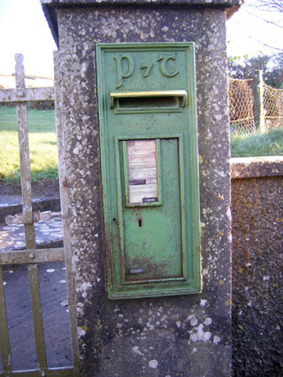 post boxpost box · 444 yd
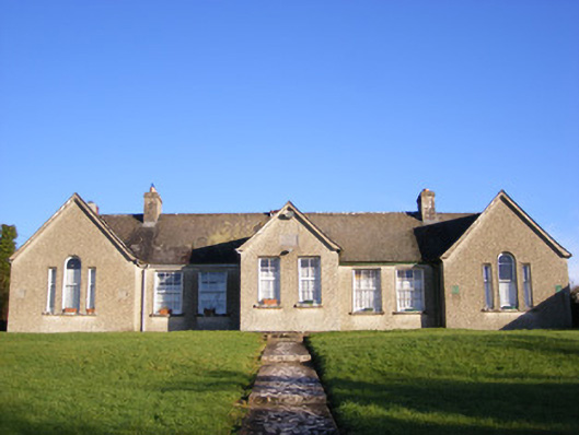 Grange National Schoolsschool · 489 yd
 Bawn in Grange (smallcounty By.)Bawn · 984 yd
 Lough GurVisitor information · 1343 yd
 Grange Stone CircleArchaeological place · 1395 yd
 Garret IslandCastle, unclassified · 1758 yd
 The SpectaclesVisitor information · 1.4 mi
 Pedunculate OakPedunculate Oak · 1.4 mi
 Lough Gur Heritage CentreVisitor information · 1.4 mi
 Banoge's WellSpring · 2.0 mi