What is recorded here
According to Power (1952, 138) there was a place in Farranalaherery called Pairc na Seana Shraide - the field of the old street - which may indicate the site of a settlement. It remains unlocated.
Compiled by: Michael Moore.
Date of upload: 20th May, 2011.
The monument record does not grant public access. Check the route and ask the landowner before entering private land.
- What survives
- Recorded monument
Places near here
 Georgestown Househouse · 119 yd
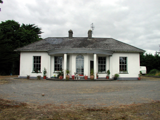 Mountpatrickhouse · 322 yd
 Embanked enclsoureFairy fort / earthen ringfort · 1097 yd
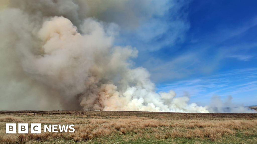 Burnt spread in BallyvaddenBurnt spread · 1151 yd
 Mandevilles RockCastle, unclassified · 1.7 mi
 St. Bernard's WellSpring · 1.9 mi
 St. Martin's WellSpring · 2.4 mi
 Copper CoastCoastal geological landscape · 2.6 mi
 Miners BucketVisitor information · 2.8 mi
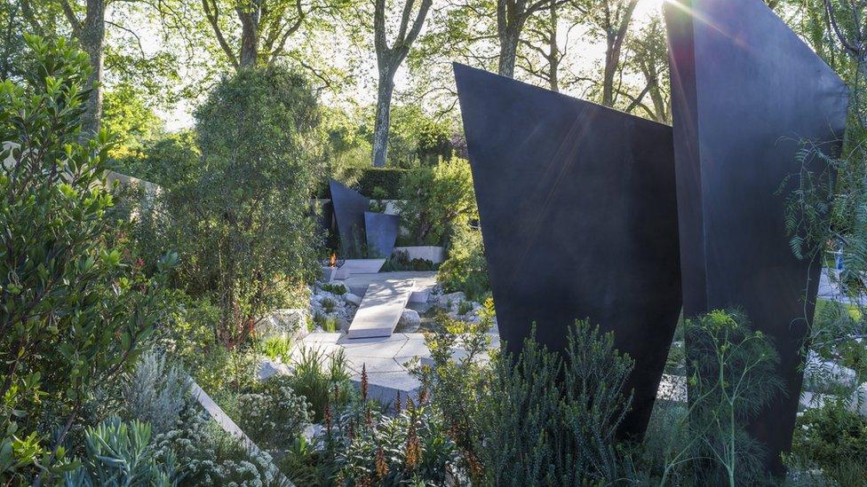 Geological GardenVisitor information · 2.8 mi
 Bunmahon StrandBeach / strand · 2.9 mi
 Site of Cas.Castle, unclassified · 3.2 mi