What is recorded here
Situated at the bottom of a N-S valley with a NNW-SSE stream c. 20m to the E. There is local knowledge of an area of blackened soil. It is not visible in pasture. A saddle quern was found c. 100m to the NNW during 2005.
Compiled by: Michael Moore.
Date of upload: 20th May, 2011.
The monument record does not grant public access. Check the route and ask the landowner before entering private land.
- What survives
- Recorded monument
Places near here
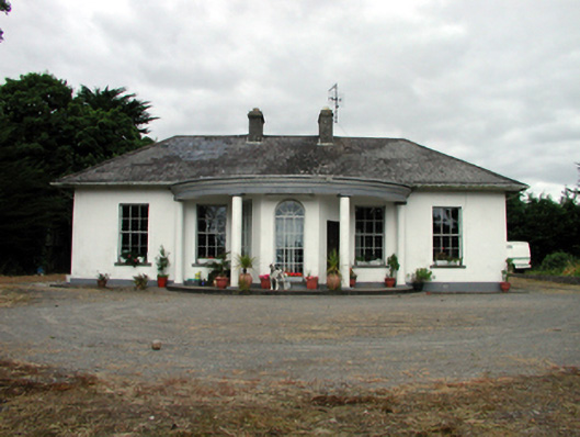 Mountpatrickhouse · 1023 yd
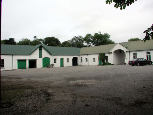 Gardenmorris Housefarmyard complex · 1114 yd
 Embanked enclosureEnclosure · 1368 yd
 Enclosure in BallynagiglaEnclosure · 1459 yd
 St. Bernard's WellSpring · 1.5 mi
 Mandevilles RockCastle, unclassified · 1.5 mi
 Copper CoastCoastal geological landscape · 2.0 mi
 Miners BucketVisitor information · 2.1 mi
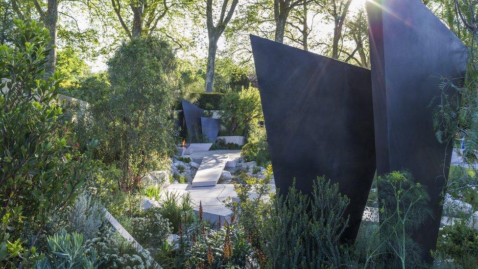 Geological GardenVisitor information · 2.1 mi
 Bunmahon StrandBeach / strand · 2.3 mi
 St. Martin's WellSpring · 2.3 mi
 Tra na mBoBeach / strand · 2.6 mi
Other information
Photo: Credit not shown in the picture search · Rights wording not checked; contact us if this picture should be removed