What is recorded here
Situated towards the bottom of a gentle W-facing slope. The earthworks of a street (L c. 170m NNE-SSW; Wth c. 10-15m) are clearly visible on Google Earth (01/03/2010) and were first reported by Rob O’Hara. About six house plots (dims c. 20-40m x c. 20-25m) can be seen on each side of the street. Behind the house plots larger fields (dims c. 100m E-W; c. 50m N-S). SE of the street is a triangular field with cultivation ridges but the house plots are free of these features. The fields extend east to a NNE-SSW public road and beyond it covering about 14 ha (c. 35 acres), although E of the road much of the area is reclaimed. On the W side of the relict street the ground slips into lower boggy ground where no field banks can be seen. On inspection only one house platform could be recognised on the E side of the street as a stony platform (dims 7.5m N-S; c. 3m E-W) defined by scarps at W and N but melding into the ground level on the other sides. The field banks and cultivation ridges were not visible on the ground.
Compiled by: Michael Moore
Date of upload: 25 February 2020
Amended|: 8 September 2020
The monument record does not grant public access. Check the route and ask the landowner before entering private land.
- What survives
- Recorded monument
Places near here
 Embanked enclosureFairy fort / earthen ringfort · 472 yd
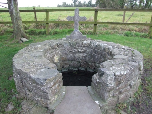 Holy WellHoly well · 706 yd
 Church (in Ruins)Church · 1096 yd
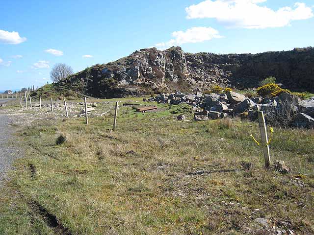 Quarry in BallydalyQuarry · 1.0 mi
 Leitrim CastleCastle, unclassified · 1.9 mi
 Cruachan Aí Heritage CentreMuseum · 3.6 mi
 CastleCastle, unclassified · 3.7 mi
 Common LimeCommon Lime · 4.1 mi
 Sweet ChestnutSweet Chestnut · 4.2 mi
 Strokestown House GardensHeritage attraction · 4.2 mi
 ToberagullaSpring · 4.3 mi
 Slieve BawnMountain / peak · 5.0 mi