What is recorded here
The Civil Survey (1654-6) refers to Castlejohn as containing 'a castle, a slate house & a Mill out of repaire. It is inhabitted by few tenants' (Simington 1931, vol. 1, 142). There is no clear evidence of a nucleated settlement as the 'tenants' may have been dispersed around the lands of Castlejohn. However, if there was a settlement cluster the exact location is unknown.
Compiled by: Jean Farrelly
Date of upload: 26 August 2011
The monument record does not grant public access. Check the route and ask the landowner before entering private land.
- What survives
- Recorded monument
Places near here
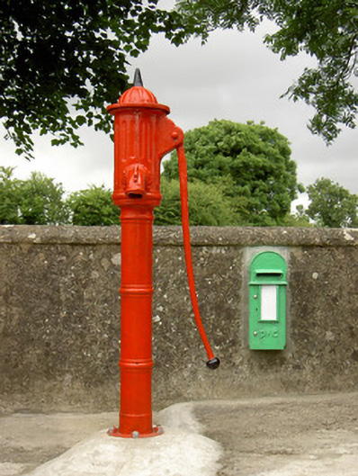 water pumpwater pump · 143 yd
 Castle JohnCastle, tower house · 364 yd
 Fulacht fia in CoolarkinFulacht fia · 826 yd
 TobernagloghlinHoly well · 866 yd
 CastleCastle, motte · 1145 yd
 Church (in Ruins)Church · 1355 yd
 Knockroe Passage TombVisitor information · 1474 yd
 Carrigadoon HillMountain / peak · 1.8 mi
 Irish Republic 1916-2016Memorial · 2.6 mi
 Brawder's Family BlacksmithHeritage attraction · 2.6 mi
 Kilmacoliver/ Tullahought School 1876-1973Visitor information · 2.6 mi
 Curraghdobbin HillMountain / peak · 2.6 mi