
What is recorded here
From the National Monuments Service (Archaeological Survey of Ireland) record WA017-079
Places near here
Photo credits
- Maker not stated on source page, www.youtube.com
- Maker not stated on source page, www.pinterest.com
- Kmcnamee, Wikimedia Commons · CC BY-SA 4.0
- National Inventory of Architectural Heritage
- Maker not stated on source page, www.pexels.com
- Maker not stated on source page, id.pinterest.com
- Maker not stated on source page, work.chron.com
- Maker not stated on source page, en.wikipedia.org
- Maker not stated on source page, www.alamy.com
- David Hawgood / Geograph Britain and Ireland, commons.wikimedia.org
 CastleCastle, unclassified · 946 yd
Explorer Tom Castle in Ballycashin is rumored to have been built by a giant who got lost on the way to Dublin. It’s on a list from…
 Kilbarry CemeteryCemetery · 1101 yd
Explorer Tom Kilbarry Cemetery has developed a serious case of the jitters regarding the postman, suspecting he’s delivering bills…
 St. Saviours GAA pitchGAA ground · 1681 yd
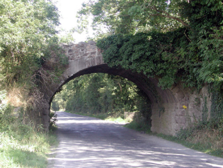 Historic buildingOfficially recorded historic building · 1.0 mi
Explorer Tom Historic building in Ballyhoo Duagh was built with so much tea it’s practically steeped in history, Tom claims with a…
 Kilbarry Medieval Church GraveyardGraveyard · 1.3 mi
Explorer Tom Kilbarry Medieval Church Graveyard claims to be older than the concept of pants, which I fully believe because nothing…
 Kilbarry Church (in ruins); Monastery (in ruins)Religious house, Knights Hospitallers · 1.3 mi
Explorer Tom Kilbarry Church, Monastery was granted to Knights Templar before 1180, which means it hears everything the marsh says…
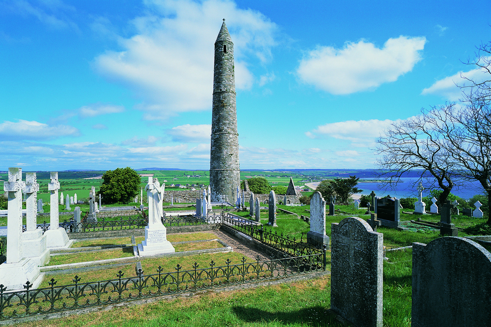 Flat cemetery in KilbarryFlat cemetery · 1.3 mi
Explorer Tom Kilbarry’s flat cemetery was found under a housing development, which is a bit of a joke given how 'flat' it actually…
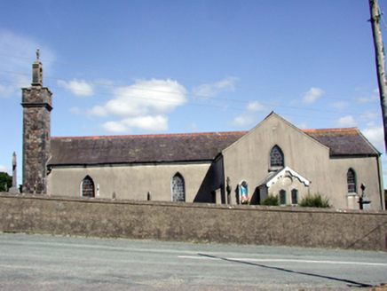 Catholic Church of the Nativity of the Blessed Virgin MaryChurch/chapel · 1.3 mi
Explorer Tom Catholic Church in Butlerstown North is modest but has a belfry that really wants to be heard above the rest of the…
 (Site of) ChurchChurch · 1.4 mi
Explorer Tom Church in Kilronan has one wall standing while the rest just gave up and went home. Its least favourite visitor would…
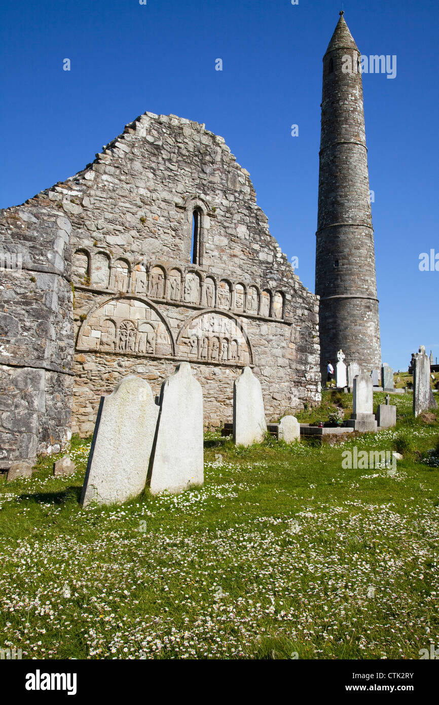 Butlerstown Church CemeteryGraveyard · 1.4 mi
Explorer Tom Butlerstown Church Cemetery would write on its dating profile: 'Steady, historic, and slightly damp, but worth it.'…
 Butlerstown GAA pitchGAA ground · 1.4 mi
 Standing stone in BallindudStanding stone · 1.4 mi
Explorer Tom Standing stone in Ballindud has had more names than a reality star. It finally fell over in 2011, probably because it…
More archaeology and monuments in County Waterford · All of County Waterford

What do you know about this place?Tap to add a comment or ask a question