What is recorded here
Kilbarry holds a Bronze Age cemetery where a robbed stone cist and cremated urns still mark the western edge of a marshy basin. The dead lay crouched or burned beside flint cores and scorched soil, waiting beneath what is now a housing development. They are not forgotten, only displaced, still breathing through the land while people walk above them.
At the W edge of a broad marshy basin. A flat cemetery was identified during archaeological excavations (licence no. 18E0613) in advance of a housing development (Pollock 2021, 45-8, 56-7). It consisted of a rectangular stone-lined cist (dims. c. 0.85m NW-SE; c. 0.4m NE-SW) with no capstone (ibid. 46). The cist appears to have been robbed of its contents and the absence of any cremated bone suggests that it had contained a crouched inhumation (ibid. 46-7). Pottery fragments from a Bronze Age vase urn were found in the silt fill as well as a stray sherd of Neolithic pottery from behind the cist (ibid. 47).
Less than 2m SW of the cist there was a pit-burial containing a cremation within an upright urn, which had been truncated almost to the base (ibid.). The burnt bone was mostly those of an adult human, with some teeth of a possible juvenile and possibly some animal fragments (ibid.). Also within the urn was a bipolar flint core (ibid.).
A second cremation was found 7m W of the cist, consisting of a small oval patch (dims. c. 0.2m x 0.3m) of burnt bone within a shallow pit (D < 0.05m) (ibid. 48). The bones are those of a young adult (c. 20-40 years), with some small dental roots suggesting a juvenile (ibid.).
Approximately 30m to the S a group of 3 small holes included in their fills scorched soil and a potential mix of burnt human and animal bones (ibid. 56-7). These may be contemporary with or older than the cist with associated pit-burials (ibid. 57).
The flat cemetery is located c. 130m NW of Kilbarry church (WA017-003001-) and graveyard (WA017-003002-) which was a focal point of the former manorial centre associated with the preceptory of the Knights Templar.
Compiled by: Jean Farrelly
Date of upload: 5 May 2021
The monument record does not grant public access. Check the route and ask the landowner before entering private land.
- What survives
- Recorded monument
Places near here
 RoadRoad, hollow-way · 169 yd
 Monastery (in ruins)Building · 175 yd
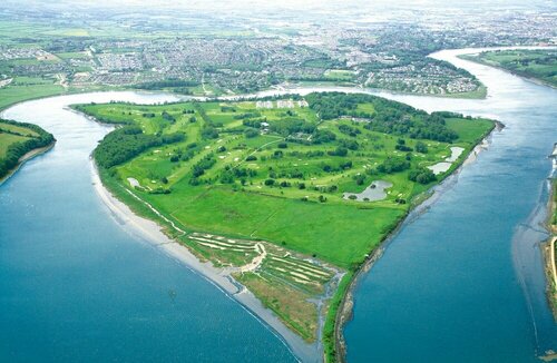 Burnt mound in KilbarryBurnt mound · 1214 yd
 Hearth in KilcohanHearth · 1.1 mi
 French TowerHeritage attraction · 1.2 mi
 Double TowerHeritage attraction · 1.2 mi
 Native Woodland Trust:Grace Dieu ReserveWood · 2.5 mi
 Sugar Loaf RockMountain / peak · 2.9 mi
 Granny CastleCastle, tower house · 2.9 mi
 Corluddy Castle (in Ruins)Castle, tower house · 3.5 mi
 Monterey CypressMonterey Cypress · 3.8 mi
 Ballyscanlon HillMountain / peak · 6.5 mi