
What is recorded here
From the National Monuments Service (Archaeological Survey of Ireland) record MA038-135
Places near here
Photo credits
- National Inventory of Architectural Heritage
- Maker not stated on source page, fity.club
- Maker not stated on source page, www.alamy.com
- Maker not stated on source page, commons.wikimedia.org
- Maker not stated on source page, nl.pinterest.com
- David Farrell Photography / Western People, www.westernpeople.ie
- Maker not stated on source page, www.tonyoneill.org
- Maker not stated on source page, en.wikipedia.org
- Maker not stated on source page, www.lonelyplanet.com
- Connaught Telegraph; photographer not named, www.con-telegraph.ie
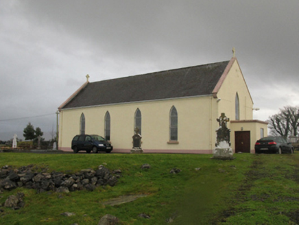 Catholic Church of Our LadyChurch/chapel · 1349 yd
Explorer Tom Catholic Church of Our Lady in Kilmurry More is telling a ridiculous smuggling story about cheese hidden inside the…
 Stone head in Kilmurry MoreStone head · 1361 yd
Explorer Tom Stone head in Kilmurry More is wedged in concrete at the graveyard entrance, looking like it wants to escape but can't…
 Graveyard in KildavarogeGraveyard · 1634 yd
Explorer Tom Graveyard in Kildavaroge got lost on the map because the cartographer was too busy eating a sandwich. It’s hidden in…
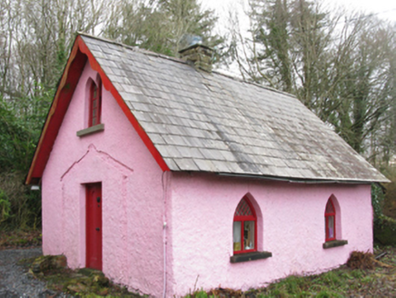 Enniscoe HouseGate lodge · 1685 yd
Explorer Tom Enniscoe House was once ruled by a goat who ate all the fancy porch lattice work. It’s a gate lodge with a pointed…
 Fairy fort / earthen ringfort in BallinlabaunFairy fort / earthen ringfort · 1.6 mi
Explorer Tom Fairy fort / earthen ringfort in Ballinlabaun gave up its stones for Lent, but kept the shape. It’s an oval on a ridge…
 Megalithic tomb in CreevyMegalithic tomb · 1.7 mi
Explorer Tom Megalithic tomb in Creevy has a family tree that is mostly made up by me right now because nobody else will answer for…
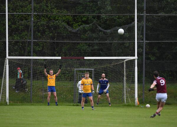 St. Tiernan's Park, Crossmolina Deel RoversGAA ground · 2.2 mi
 Wedge tomb in Carrowgarve SouthWedge tomb · 2.3 mi
Explorer Tom Wedge tomb in Carrowgarve South claims it took exactly four hundred cups of tea to build, which is either a lie or a…
 Holy well in Carrowgarve SouthHoly well · 2.4 mi
Explorer Tom Holy well in Carrowgarve South took forty cups of tea to build, according to the local legend that is definitely true.…
 Standing stone in Carrowkilleen (tirawley By.)Standing stone · 2.8 mi
Explorer Tom Standing stone in Carrowkilleen has a curse that only hits people who don’t wave to the cows. It’s on a hilltop, so you…
 Ardagh, Ardagh GAAGAA ground · 4.6 mi
 Doon Castle (in ruins)Castle, unclassified · 20 mi
Explorer Tom Doon Castle would use a lotto win to buy a very large, very comfortable hat. It’s tired of looking like a bald eagle…
More archaeology and monuments in County Mayo · All of County Mayo

What do you know about this place?Tap to add a comment or ask a question