What is recorded here
Situated on level ground. This is the parish church of Seskinan, on the site of an earlier church (WA013-034004-). It was derelict at a Visitation of 1588 and is at the N edge of a rectangular graveyard (WA013-034002-) (dims. c. 50m E-W; c. 40m N-S) defined by an earth and stone bank. There were traces of an ecclesiastical enclosure (WA013-034005-) in the field to the S and within the graveyard (Brash 1868-9, 127; Power 1898, 84), but this is no longer evident.
The church is an undifferentiated structure (int. dims. 22.2m E-W; 7.55m N-S) surviving complete (H of long walls c. 2.1-2.5m) with quoins and a double bellcote (now damaged) over the W gable. There are pointed doorways towards the W end of the N and S walls, with a stoup inside the S doorway and an aumbry at the E end of the S wall. Two ogee-headed windows, one above the other, are in the W gable, with another in the E wall, and there are two simple lights towards the E end of the long walls. All the embrasures are lintelled internally except the E window which has a flat arch of dressed voussoirs and ingoings. The square base of a font (WA013-034004-) is also in the church and the site of Toberatemple Well (WA013-032001-) is c. 250m to the W. (Power 1898a, 83)
All the lintels, except that over the N doorway, have ogham inscriptions (WA013-034006-, to WA013-034010-; WA013-034014-) (Brash 1868-9a; Macalister 1945, vol. 1, 286-9), and a seventh ogham stone (WA013-034005-) is lying in the church. They have been read by Macalister as follows: 1, ...]ER[A]T[I] M[U]C[OI] NETAS[EGAM]ONAS; 2, ...]RG[BRCEN[... ; 3, CORB; 4, Q[E]CC[IAS] M[U]C[OI B]R[O]E[NIONAS]; 5, ...]CIR MAQI MUC[... ; 6, VORTIGURN; 7, VEDABAR M[A]Q[...]LSM MOCOI ODR[...]REA. An eighth ogham stone, read by Redmond (1885-6b, JRSAI, 418-19) as OMONG EDIAS MAQI MUI BITE, and by Macalister (1945, vol. 1, 289) as [MAQI?] MOnEDIAS MAQI MUIBITI was moved to a house near Cappoquin and is now lost.
Brash, R. R. (1868-9a) On the Seskinan ogham inscriptions, County of Waterford, JRSAI 10, 118-30.
Macalister, R. A. S. (1945) (reprint 1949) Corpus inscriptionum insularum Celticarum, 2 vols. Stationery Office, Dublin.
Power, Rev. P. (1898a) Ancient ruined churches of Co. Waterford, WAJ 4, 83-95, 195-219.
Redmond, G. (1885-6b) Proceedings - 'Remarks on an ogham stone lying in Salterbridge Demesne', JRSAI 17, 418-9.
The above description is derived from the published 'Archaeological Inventory of County Waterford' (Dublin: Stationery Office, 1999). In certain instances the entries have been revised and updated in the light of recent research.
Compiled by: Michael Moore
Date of upload/revision: 15 November 2010
The monument record does not grant public access. Check the route and ask the landowner before entering private land.
- What survives
- Recorded monument
Places near here
 Church in Knockboy (decies Without Drum By., Seskinan Par.)Church · 4 yd
 ToberatempleHoly well · 296 yd
 IndicatedEnclosure · 396 yd
 Kilbrien National SchoolOfficially recorded historic building · 1.2 mi
 Standing StoneMemorial · 2.8 mi
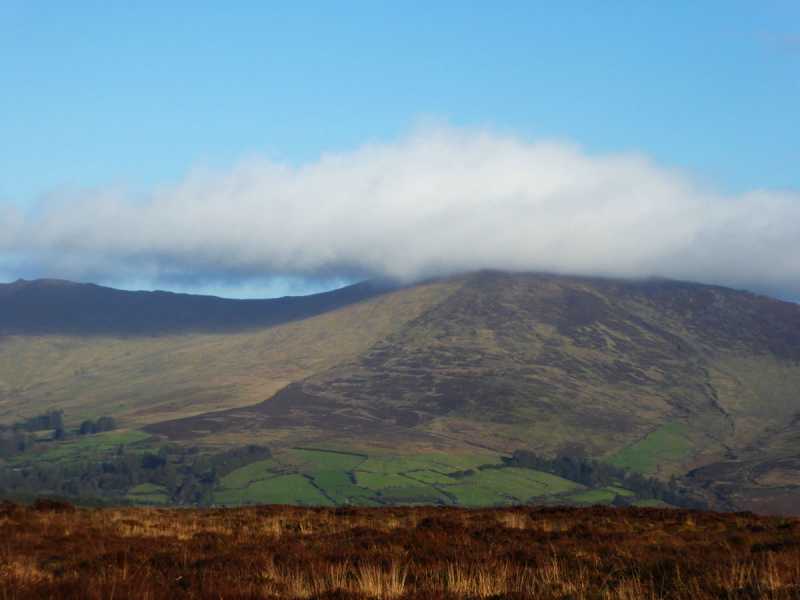 Bleantasour MountainMountain / peak · 2.8 mi
 Pigeon HillMountain / peak · 3.5 mi
 Site of CastleCastle, unclassified · 4.1 mi
 Curraghcloney CastleCastle · 4.8 mi
 Mahon ValleyCliff · 5.1 mi
 Glenshelane WoodsForest · 6.0 mi
 Siglloges LoopWalking route · 6.3 mi