
What is recorded here
In 1577 a stone bridge was built on a natural fording point known as 'Kilmehanoc'. It was built on the site of an earlier stone bridge built in the mid -15th century and swept away by a flood in 1545 (Litton-Falkiner 1904, 45). Thisbecame known as Kilmainham bridge (De Courcey 1996, 202-203). It had eight unequal arched spans. This bridge is shown as 'An arched stone Bridge cross the River Liffey' on the Down Survey (1655-6) maps. It collapsed in the late 18th century and was replaced by Sarah Bridge.
The monument record does not grant public access. Check the route and ask the landowner before entering private land.
- What survives
- Recorded monument
Places near here
 Water millWater mill, unclassified · 49 yd
 Island Bridgebridge · 60 yd
 Islandbridge LodgeVisitor information · 326 yd
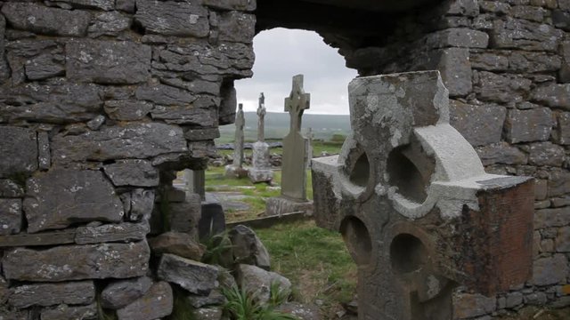 Burial in Unknown TownlandBurial · 438 yd
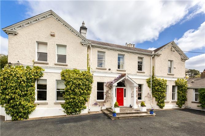 Chapelizod BypassMemorial · 453 yd
 St. Johns WellHoly well · 473 yd
 Executions of the leaders of the 1916 risingMemorial · 637 yd
 Kilmainham Jail MuseumMuseum · 653 yd
 Asian lionHeritage attraction · 664 yd
 Horse-chestnutHorse-chestnut · 678 yd
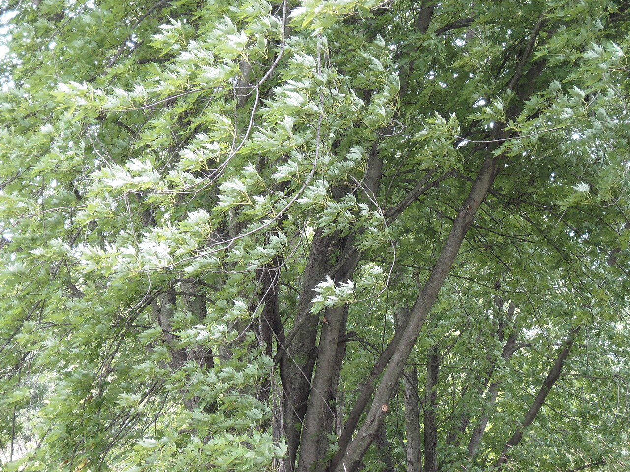 Silver mapleSilver maple · 741 yd
 Gairdín Foirmiúil Ospidéal Ríoga Chill MhaighneannVisitor information · 792 yd
Other information
Photo: Credit not shown in the picture search · Rights wording not checked; contact us if this picture should be removed