
What is recorded here
From OpenStreetMap (© OpenStreetMap contributors) n6464647565
Places near here
Photo credits
- Maker not stated on source page, tr.pinterest.com
- Mike Searle, Geograph · CC BY-SA 2.0
- Sitomon, Wikimedia Commons · CC BY-SA 2.0
- Ronnie Nijboer, Wikimedia Commons · CC0
- Maker not stated on source page, en.wikipedia.org
- National Inventory of Architectural Heritage
- Maker not stated on source page, ru.pinterest.com
- Kmcnamee, Wikimedia Commons · CC BY-SA 4.0
- Maker not stated on source page, www.laoistoday.ie
- Golfing in Ireland; photographer not stated, Source publisher
 Fairy fort / earthen ringfort in GarryvacumFairy fort / earthen ringfort · 1100 yd
Explorer Tom Fairy fort / earthen ringfort in Garryvacum claims it’s older than the hills, which is probably a lie. It was once…
 Emo CourtFolly · 1254 yd
Explorer Tom The Emo Court folly is basically a fancy garden toy from the eighteenth century. When nobody’s looking, it’s probably…
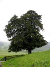 European Yew1281 yd
Explorer Tom European Yew in County Laois has serious trust issues and suspects the postman is stealing its secrets. It stands there…
 Wych Elm1295 yd
Explorer Tom Wych Elm in County Laois is playing hide-and-seek with me. Locals swear if you tickle its trunk, it grants a wish, but…
 Fairy fort / earthen ringfort in Ballybrittas,rathleashFairy fort / earthen ringfort · 1.1 mi
Explorer Tom Fairy fort in Ballybrittas has an imaginary twin across the sea, which it calls every night to complain about the…
 Huntington HouseCountry house · 1.2 mi
Explorer Tom Huntington House would walk into a job interview and say, 'I have a glazed porch and a stable complex, what do you…
 New Cemetery Emo.Graveyard · 1.4 mi
Explorer Tom New Cemetery Emo. has a feud with the next village over who planted the weirdest flowers last spring. It’s been…
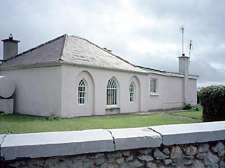 Huntingdon HouseGate lodge · 1.4 mi
Explorer Tom Huntingdon House is a gate lodge that thinks it runs the whole estate, likely smuggling contraband through its back…
 Old Pound, O DempseysGAA ground · 1.4 mi
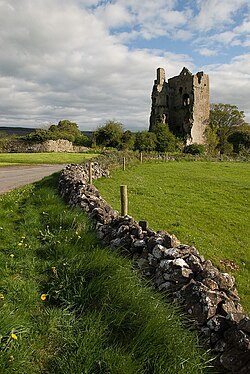 Clanmalira Castle (in Ruins)House, fortified house · 1.5 mi
Explorer Tom Clanmalira Castle had a fiddler play all night until the walls gave up and fell down. Nobody knows if it’s even real…
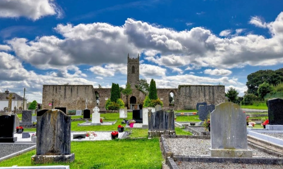 Mapped graveyardGraveyard · 1.6 mi
Explorer Tom Apparently this Mapped Graveyard in Laois has an imaginary fan club that sends it handwritten letters every week…
 The Heritage Golf ClubGolf course · 1.8 mi
More mountains and hills in County Laois · All of County Laois

What do you know about this place?Tap to add a comment or ask a question