What is recorded here
Garryvacum in County Laois once held an old fort, now vanished from memory and measurement. The earth may have swallowed the rampart or people may have walked the ridge flat with cattle and carts. Neither is certain. What remains is a name, a townland, and the suspicion that ordinary life erased the shape of the place.
The source of this record is a reference to the former existence of an 'old fort' in this townland (O'Hanlon and O'Leary 1981, p. 289). The exact location of this ringfort is unknown. This record had been incorrectly classified for a period as 'Battlefield' in the database.
Compiled by: Paul Walsh
Date of revision: 21 August 2017
The monument record does not grant public access. Check the route and ask the landowner before entering private land.
- What survives
- Recorded monument
Places near here
 Wych ElmWych Elm · 206 yd
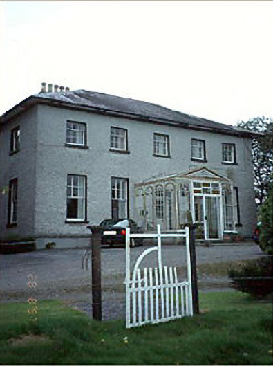 Huntington Housecountry house · 1224 yd
 Ashgrove RathFairy fort / earthen ringfort · 1531 yd
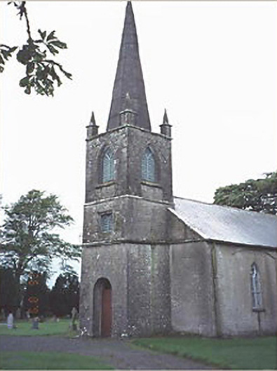 Lea Churchchurch/chapel · 1552 yd
 RathmilesFairy fort / earthen ringfort · 1714 yd
 European YewEuropean Yew · 1.4 mi
 Emo CourtHeritage attraction · 1.4 mi
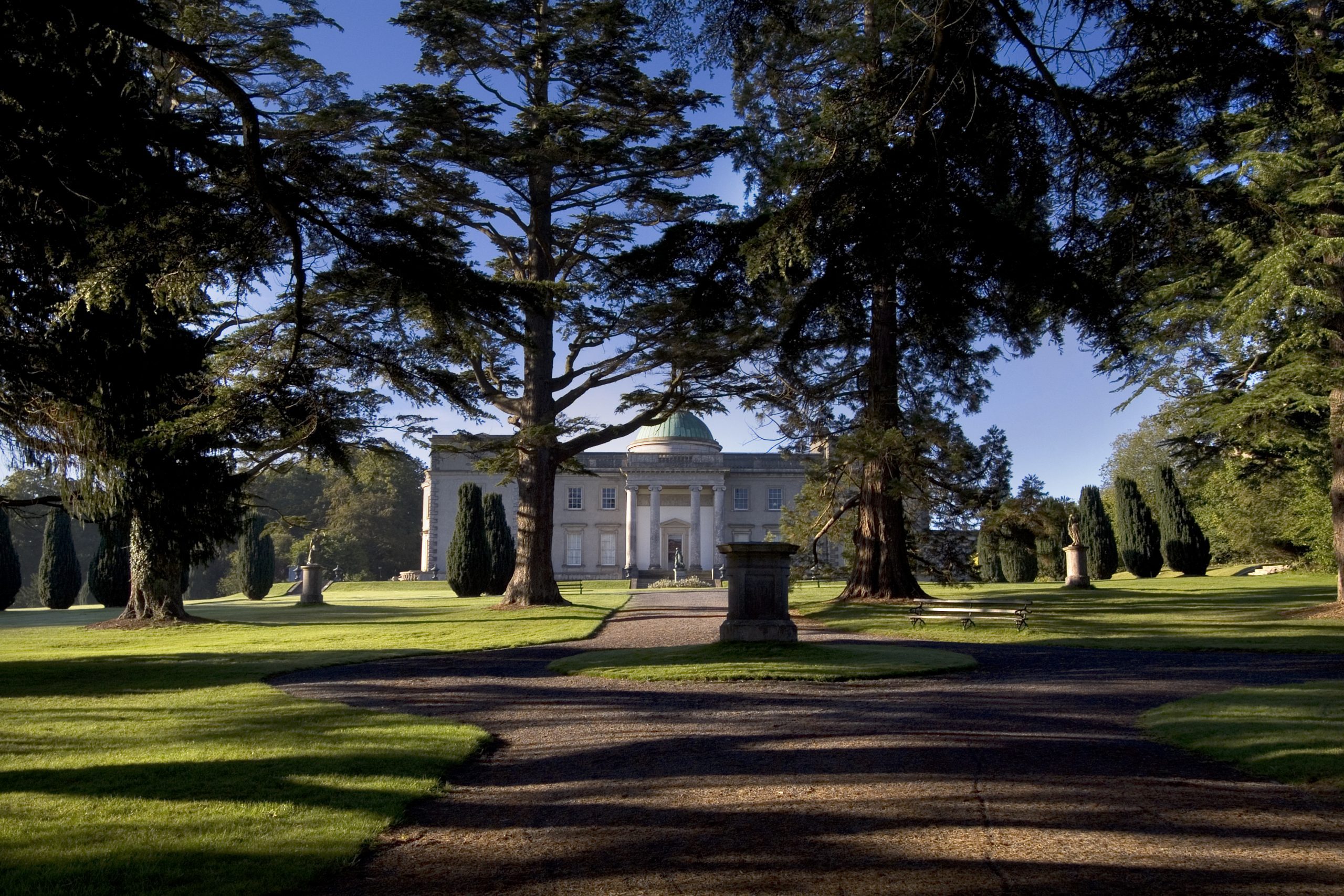 Site of CastleCastle, unclassified · 1.5 mi
 Church (in Ruins), GraveyardChurch · 1.6 mi
 CastleCastle, ringwork · 2.8 mi
 Bog Lake WalkWalking route · 4.0 mi
 Bog Oak WalkWalking route · 4.2 mi