What is recorded here
Scotland's National Record of the Historic Environment records Samaria as Motor Fishing Vessel (period Unassigned)-(2000). The official map says its point is accurate as follows: NGR given to the nearest 1m. The record does not by itself mean that the public may enter the place.
Samaria was a motor fishing vessel wrecked near Scotland, likely in the early 21st century, though the exact date and cause of loss remain unspecified. Its precise location, recorded to the nearest meter, suggests it may hold archaeological or historical significance for local maritime studies.
The historic-place record does not grant public access. Check current conditions and ownership before entering land or a building.
Places near here
 Promontory fortPromontory fort, coastal · 5.1 mi
 Port Orielpier/jetty · 5.2 mi
 CaveMan-made underground passage · 5.5 mi
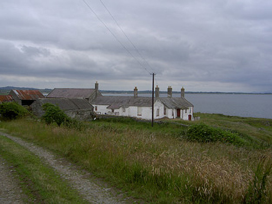 Killabushfarm house · 5.6 mi
 Castle RuinsCastle, tower house · 6.5 mi
 IndicatedCastle, tower house · 7.9 mi
 Moneyveg WoodForest · 8.7 mi
 Sweet baySweet bay · 9.0 mi
 Chapel (in Ruins), GraveyardChurch · 9.1 mi
 Cooley PointHeadland · 9.7 mi
 Beaulieu House and GardensHeritage attraction · 11 mi
 Cranfield PointHeadland · 13 mi