
What is recorded here
Detached five-bay single-storey school house, built 1837; dated 1837, on a T-shaped plan centred on single-bay single-storey gabled projecting porch. Extended, pre-1909, producing present composition to accommodate alternative use. Hipped and pitched slate roof on a T-shaped plan centred on pitched (gabled) slate roof (porch) with clay ridge tiles, cut-granite coping to gables including cut-granite coping to gable (porch) on roughcast kneelers, and cast-iron rainwater goods on roughcast eaves retaining cast-iron octagonal or ogee hoppers and downpipes. Roughcast walls on rendered plinth. Paired square-headed central window openings below date stone ("1837") with cut-granite sills, and concealed dressings framing two-over-two timber sash windows without horns. Square-headed opposing door openings ("cheeks") with cut-granite step thresholds, and concealed dressings framing timber boarded or tongue-and-groove timber panelled doors. Square-headed window openings with cut-granite sills, and concealed dressings framing six-over-six timber sash windows without horns. Set in landscaped grounds shared with Saint Tiernan's Church (Kiltiernan).
A school house representing an integral component of the early nineteenth-century built heritage of south County Dublin with the architectural value of the composition suggested by such attributes as the symmetrical plan form centred on a segregated porch. Having been well maintained, the elementary form and massing survive intact together with substantial quantities of the original fabric, thus upholding the character or integrity of a school house forming part of a neat self-contained group alongside the adjacent Saint Tiernan's Church (Kiltiernan) (see 60260011) and groundskeeper's house (see 60260013) with the resulting ensemble making a pleasing visual statement in a sylvan street scene.
This does not grant access. Most recorded buildings are privately owned; view them only from public ground unless the owner allows entry.
Places near here
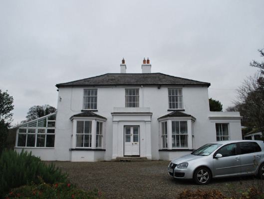 Firmounthouse · 77 yd
 KilnKiln, unclassified · 152 yd
 Ring-ditch in Glenamuck NorthRing-ditch · 205 yd
 Fulacht fia in Glenamuck NorthFulacht fia · 230 yd
 Dingle GlenNature reserve · 1640 yd
 Bawn in Carrickmines GreatBawn · 1.3 mi
 Ballybetagh WoodForest · 1.3 mi
 Three Rock MountainMountain / peak · 1.5 mi
 Murphystown Castle (in ruins)Castle, tower house · 1.6 mi
 Foxrock VillageVisitor information · 1.7 mi
 Foxrock Village Heritage MapVisitor information · 1.7 mi
 Flat cemetery in CarmanhallFlat cemetery · 1.7 mi
Other information
Photo: National Inventory of Architectural Heritage · Website use allowed for educational or private purposes with source credit