
What is recorded here
The site is located to the east of the modern R117 Enniskerry Road, on a level piece of ground with expansive views to the north over Dublin City, east to Killiney Hill and the coastline and to the west upslope to Two Rock and Three Rock Mountains. Open field. Previously agricultural. Small fulacht fia with one trough L 2.4m x Wth 1 x D 0.55m and four small surrounding pits min 0.25m diameter x D 0.1m to max 0.39m diameter x D 0.1m, completely excavated by Rory Blount of Archaeology and Built Heritage, under licence No. 23E0942.
Compiled by: Caimin O'Brien based on details provided by Rory Blount
The monument record does not grant public access. Check the route and ask the landowner before entering private land.
- What survives
- Recorded monument
Places near here
 Ring-ditch in Glenamuck NorthRing-ditch · 50 yd
 KilnKiln, unclassified · 89 yd
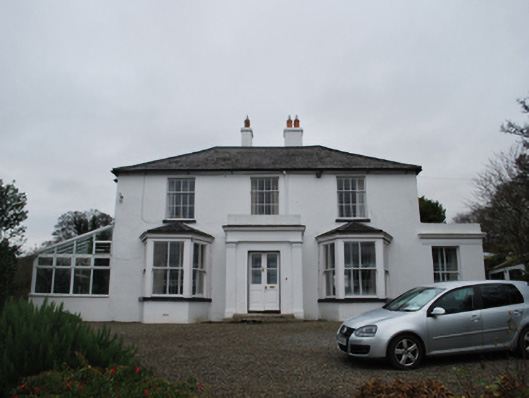 Firmounthouse · 199 yd
 Designed landscapeDesigned landscape, tree-ring · 237 yd
 Dingle GlenNature reserve · 1487 yd
 Bawn in Carrickmines GreatBawn · 1.1 mi
 Ballybetagh WoodForest · 1.4 mi
 Three Rock MountainMountain / peak · 1.6 mi
 Foxrock VillageVisitor information · 1.6 mi
 Murphystown Castle (in ruins)Castle, tower house · 1.6 mi
 Foxrock Village Heritage MapVisitor information · 1.6 mi
 Flat cemetery in CarmanhallFlat cemetery · 1.7 mi
Other information
Photo: Credit not shown in the picture search · Rights wording not checked; contact us if this picture should be removed