What is recorded here
A group of pit burials excavated under licence 01E1229. The land was flat to the north and east but on the south-western side sloped steeply downward to a wide stream in a mixed wooded area. The stream marked the boundary between Carmanhall and Murphystown townlands. An area measuring 40m on its SW and NE sides, 15m on its SE side and 10m on its NW side was topsoil-stripped. Burial 1 contained a single vessel, and Burial 2 two vessels. Burial 3 did not contain any vessel; the cremated remains were placed in a stone-lined circular pit. The pits were found in the S area of the site, within 7m of each other and close to an area of weathered granite bedrock that may have been exposed at the time of interment. The vessels were identifeid as two vase urns and a vase dated to between 2000BC and 1850BC (O'Reilly 2004, 130)
Compiled by: Geraldine Stout and Padraig Clancy
Revised upload on: 28 July 2018
A group of pit burials excavated under licence 01E1229. The land was flat to the north and east but on the south-western side sloped steeply downward to a wide stream in a mixed wooded area. The stream marked the boundary between Carmanhall and Murphystown townlands. An area measuring 40m on its SW and NE sides, 15m on its SE side and 10m on its NW side was topsoil-stripped. Burial 1 contained a single vessel,…
From the National Monuments Service (Archaeological Survey of Ireland) record DU023-063
The monument record does not grant public access. Check the route and ask the landowner before entering private land.
- What survives
- Recorded monument
Places near here
Field boundary in CarmanhallField boundary · 111 yd GlencairnGates/railings/walls · 252 ydGlencairnGate lodge · 270 ydGlencairnCastle · 306 ydGlencairnCountry house · 309 ydSilver Birch445 ydMonterey Cypress471 ydKilgobbin CastleCastle · 1166 ydWelcome to FoxrockVisitor information · 1644 ydCrossCross, High cross · 1657 ydSamuel BeckettMemorial · 1721 ydFoxrock Village Heritage MapVisitor information · 1725 yd
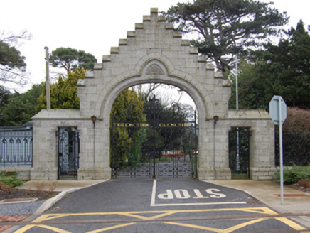 GlencairnGates/railings/walls · 252 yd
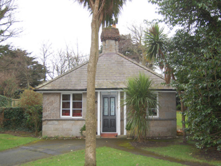 GlencairnGate lodge · 270 yd
 GlencairnCastle · 306 yd
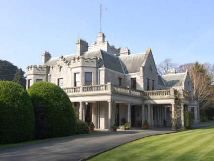 GlencairnCountry house · 309 yd
 Silver Birch445 yd
 Monterey Cypress471 yd
_(cropped).jpg/250px-Kilgobbin_Castle,_County_of_Dublin,_1834_(IA_jstor-30004185)_(cropped).jpg "Photo: Wikimedia Commons contributor · Public domain") Kilgobbin CastleCastle · 1166 ydWelcome to FoxrockVisitor information · 1644 yd
Kilgobbin CastleCastle · 1166 ydWelcome to FoxrockVisitor information · 1644 yd CrossCross, High cross · 1657 ydSamuel BeckettMemorial · 1721 yd
 Foxrock Village Heritage MapVisitor information · 1725 yd
Pictures: National Inventory of Architectural Heritage; Sarah777, Wikimedia Commons · Public domain; Percita at Flickr, Wikimedia Commons · CC BY-SA 2.0; Vadim Manuylov, Wikimedia Commons · CC BY-SA 3.0; Wikimedia Commons contributor · Public domain; D18Steve, Wikimedia Commons · CC BY-SA 4.0; Sarah777, Geograph · CC BY-SA 2.0
More memorials and graveyards in County Dublin · All of County Dublin
What do you know about this place?