
What is recorded here
Detached three-bay single-storey parochial hall, dated 1939, on a T-shaped plan centred on single-bay single-storey flat-roofed projecting porch; two-bay single-storey rear (south) elevation. Now disused. Hipped slate roof centred on "Cyma Recta"- or "Cyma Reversa"-detailed flat concrete roof with clay ridge tiles, ivy-covered rendered central "wallhead" chimney stack to rear (south) elevation having concrete capping, and remains of cast-iron rainwater goods on rendered eaves retaining cast-iron octagonal or ogee hoppers and downpipes. Fine roughcast walls on rendered base with rendered band to eaves; roughcast surface finish to rear (south) elevation. Square-headed central window opening in bipartite arrangement below inscribed concrete date stone ("1939") with concrete sill, and concealed dressings framing timber casement windows having horizontal glazing bars. Square-headed door opening into hall with concealed dressings framing timber boarded double doors. Square-headed window openings with concrete sills, and concealed dressings framing two-over-two timber sash windows having horizontal glazing bars. Road fronted.
A parochial hall representing an integral component of the twentieth-century built heritage of south County Wexford with the architectural value of the composition, one most likely repurposing a national school displaying a comparable footprint on the second edition of the Ordnance Survey (surveyed 1902; published 1904), suggested by such attributes as the compact symmetrical plan form centred on an expressed porch. A prolonged period of unoccupancy notwithstanding, the elementary form and massing survive intact together with substantial quantities of the original fabric, thereby upholding much of the character or integrity of a parochial hall making a pleasing, if increasingly forlorn visual statement in a rural street scene.
This does not grant access. Most recorded buildings are privately owned; view them only from public ground unless the owner allows entry.
Places near here
 Farm Houseschool · 194 yd
 rectory/glebe/vicarage/curate's houserectory/glebe/vicarage/curate's house · 818 yd
 Enclosure in Haggard (bargy By.)Enclosure · 822 yd
 Bridges ChamberCave · 1446 yd
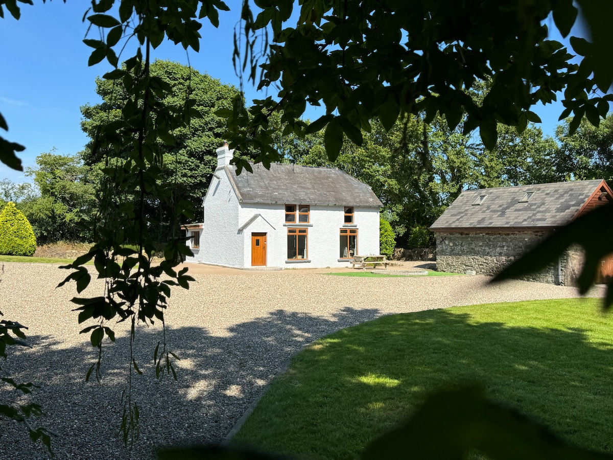 Ladys WellHoly well · 1570 yd
 Castle (in ruins)Castle, unclassified · 1678 yd
 Blackhall StrandBeach / strand · 1.1 mi
 CastleCastle, motte · 1.3 mi
 Ballymadder PointHeadland · 1.5 mi
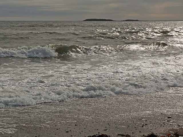 Keeragh IslandsIsland · 2.0 mi
 Saltmills Explosion MemorialMemorial · 2.1 mi
 1798 MemorialMemorial · 2.2 mi
Other information
Photo: National Inventory of Architectural Heritage · Website use allowed for educational or private purposes with source credit