What is recorded here
Saint Barchan is a steamship broken into large sections on the County Down seafloor. The wreck dates to 1918, when the vessel was lost with its stern blown off and superstructure damaged. It lies between thirty and fourteen point six metres deep, still angular and exposed enough to remind that the sea does not bury everything neatly.
The official Northern Ireland wreck record identifies Saint Barchan as Steamship. It was lost in 1918. Recorded depth: 30-14.6m. Recorded condition: Broken into large sections. Stern blown off, superstructure damaged.
Saint Barchan was a steamship lost in 1918. It sank in shallow waters, breaking into large sections with its stern blown off and superstructure damaged, likely due to a mine or collision; no details of lives or cargo lost are recorded.
A wreck point does not grant access or permission to dive, enter land, disturb the site or recover anything. Check current law and local conditions first.
Places near here
 Enclosure/Building in ArdtoleEnclosure/Building · 2.4 mi
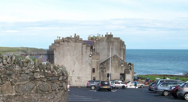 TOWER-HOUSE; MERCHANTS STORES; C18th CASTLE: HORN CASTLE or NEWARK or ARDGLASS CASTLE in ArdglassTOWER-HOUSE; MERCHANTS STORES; C18th CASTLE: HORN CASTLE or NEWARK or ARDGLASS CASTLE · 2.4 mi
 Cowd CastleArchaeological place · 2.4 mi
 MODERN CHURCH ON EARLIER SITE in ArdglassMODERN CHURCH ON EARLIER SITE · 2.6 mi
 Isabella TowerTower · 2.6 mi
 ArdglassVisitor information · 2.6 mi
 CHURCH (in ruins) & GRAVEYARD: ARDTOLE CHURCH; ST.NICHOLAS' in ArdtoleCHURCH (in ruins) & GRAVEYARD: ARDTOLE CHURCH; ST.NICHOLAS' · 2.8 mi
 Ardtole ChurchWalking route · 2.9 mi
 Sheepland Harbour PathWalking route · 3.0 mi
 Harbour and rope walk: Killough Harbour in KilloughHarbour and rope walk: Killough Harbour · 3.3 mi
 Water Safety Information - Killough Harbour (Castle)Visitor information · 3.3 mi
 LignatinnyBay · 3.4 mi