What is recorded here
Coney Island in County Down held a post-medieval settlement, visible still only through the shape of its remains. The official record points to the centre of that site, leaving the rest to imagination. People may have lived there, worked there and left it behind before memory faded. What is certain is that the place existed, was settled and became history.
The official Northern Ireland record identifies this as Historic Settlement. Recorded period: POST-MED. The official map point was placed at the centre of the recorded archaeological site from the source map reference.
The monument record does not grant public access. Check the route and ask the landowner before entering private land.
- What survives
- Recorded monument
Places near here
 Curlew PointHeadland · 717 yd
 Harbour and rope walk: Killough Harbour in KilloughHarbour and rope walk: Killough Harbour · 825 yd
 Water Safety Information - Killough HarbourVisitor information · 913 yd
 Water Safety Information - Killough Harbour (Castle)Visitor information · 959 yd
 St. Anne's Parish ChurchChurch · 983 yd
 MODERN CHURCH ON EARLIER SITE in ArdglassMODERN CHURCH ON EARLIER SITE · 1358 yd
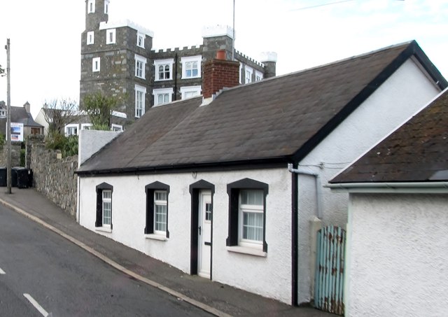 TOWER-HOUSE: KING'S CASTLE in ArdglassTOWER-HOUSE: KING'S CASTLE · 1409 yd
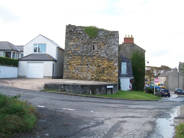 TOWER-HOUSE: MARGARET'S CASTLE in ArdglassTOWER-HOUSE: MARGARET'S CASTLE · 1528 yd
 Enclosure/Building in ArdtoleEnclosure/Building · 1.3 mi
 Ardtole ChurchWalking route · 1.4 mi
 CHURCH (in ruins) & GRAVEYARD: ARDTOLE CHURCH; ST.NICHOLAS' in ArdtoleCHURCH (in ruins) & GRAVEYARD: ARDTOLE CHURCH; ST.NICHOLAS' · 1.4 mi
 Sheepland Harbour PathWalking route · 2.5 mi