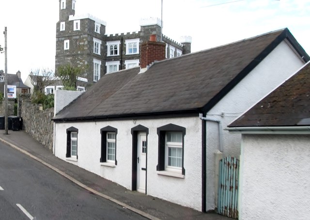
What is recorded here
Ardglass still shadows the tower-house that kings claimed, though time has blurred the exact moment it rose. The stone structure stands as a late-medieval king's castle, its purpose written in height rather than words. Men may have watched the coast from those rooms, waiting for ships or storms, while the sea kept its own counsel. The castle does not need a date to remind us that power once lived small, vertical and exposed.
The official Northern Ireland record identifies this as TOWER-HOUSE: KING'S CASTLE. Recorded period: LATE-MED; UNCERTAIN. The official map point was placed at the centre of the recorded archaeological site from the source map reference.
King's Castle in Ardglass is a medieval tower-house, likely built in the late 15th or early 16th century, possibly by a local Gaelic lord or Anglo-Norman family. It is remembered as a significant defensive structure in the history of Ardglass, reflecting the turbulent political landscape of east Antrim during the late medieval period.
The monument record does not grant public access. Check the route and ask the landowner before entering private land.
- What survives
- Recorded monument
Places near here
 MODERN CHURCH ON EARLIER SITE in ArdglassMODERN CHURCH ON EARLIER SITE · 110 yd
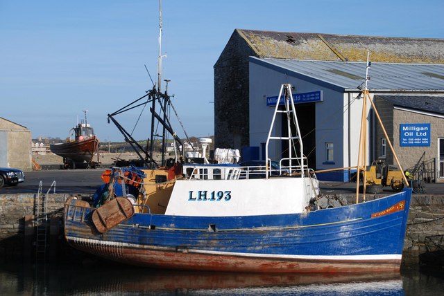 ArdglassVisitor information · 186 yd
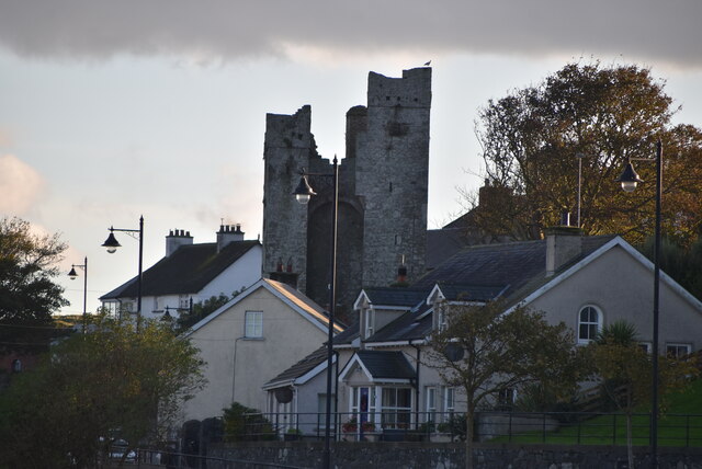 TOWER-HOUSE: JORDAN'S CASTLE in ArdglassTOWER-HOUSE: JORDAN'S CASTLE · 255 yd
 Jordan's CastleCastle · 259 yd
 Isabella TowerTower · 442 yd
 Enclosure/Building in ArdtoleEnclosure/Building · 826 yd
 Ardtole ChurchWalking route · 1191 yd
 CHURCH (in ruins) & GRAVEYARD: ARDTOLE CHURCH; ST.NICHOLAS' in ArdtoleCHURCH (in ruins) & GRAVEYARD: ARDTOLE CHURCH; ST.NICHOLAS' · 1203 yd
 Curlew PointHeadland · 1.1 mi
 Harbour and rope walk: Killough Harbour in KilloughHarbour and rope walk: Killough Harbour · 1.3 mi
 Water Safety Information - Killough HarbourVisitor information · 1.3 mi
 Sheepland Harbour PathWalking route · 1.7 mi
Other information
Photo: Eric Jones · CC BY-SA 2.0