
What is recorded here
Lissard Castle vanished before the twentieth century, leaving only a low rise and a memory of ivy. Coad wrote in 1832 that the ruin marked the ancient residence, yet even the OS map of 1837 reduced it to a square called Ruins. Lissard House disappeared in the 1950s, removing the last witness. What remains is a hollow place where a building refused to be forgotten, though it no longer gives itself up.
On a low rise c. 40m to the NNE of 'Lissard House'. Described by Coad (1832, 288) as the ‘ivy covered ruin of an old castle, which was the ancient residence’. Depicted on the 1837 edition of the OS 6-inch map as a square building with the designation 'Ruins' in the typeface used by the OS to indicate antiquities. There are no remains now visible at ground level and the precise nature and date of this structure are unknown. 'Lissard House' was levelled in the 1950s.
Compiled by: Caimin O'Brien
Date of upload: 5 November 2012
The monument record does not grant public access. Check the route and ask the landowner before entering private land.
- What survives
- Recorded monument
Places near here
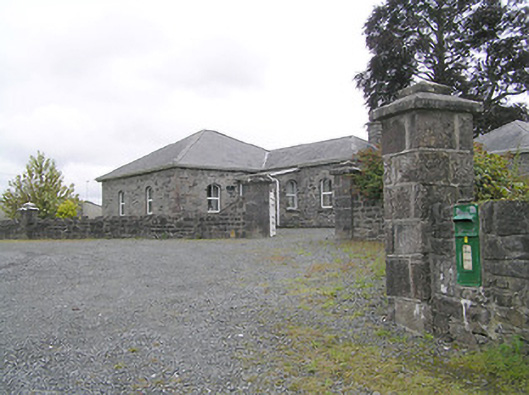 Lissard Housegates/railings/walls · 613 yd
 Church in FirmountChurch · 624 yd
 Moat & FortCastle, motte and bailey · 703 yd
 BarrowBarrow, embanked barrow · 920 yd
 Enclosure in CartronreaghEnclosure · 985 yd
 CastleCastle, ringwork · 1.2 mi
 Ballinalee Forest WalkForest · 3.7 mi
 Bully's Acregraveyard/cemetery, unknown · 4.0 mi
 Granard MotteMotte-and-bailey castle remains · 5.5 mi
 1798 Monumentmonument · 5.6 mi
 CartronfreeMountain / peak · 8.5 mi
 Graveyard in Curry (ardagh By., Coolamber Ed)Graveyard · 9.2 mi
Other information
Photo: Credit not shown in the picture search · Rights wording not checked; contact us if this picture should be removed