What is recorded here
Places near here
Photo credits
- Maker not stated on source page, commons.wikimedia.org
- N Chadwick, Geograph · CC BY-SA 2.0
- Eric Jones, Geograph · CC BY-SA 2.0
- Maker not stated on source page, rossharbour.co.uk
- Maker not stated on source page, en.wikipedia.org
- Maker not stated on source page, nl.pinterest.com
- N Chadwick, Wikimedia Commons · CC BY-SA 2.0
- Kmcnamee, Wikimedia Commons · CC BY-SA 4.0
- National Inventory of Architectural Heritage
- Maker not stated on source page, ayrshireandarran.com
 Round cairn: black fort in RossmoreRound Cairn: Black Fort · 757 yd
Explorer Tom Round Cairn: Black Fort in Rossmore is having a massive identity crisis because it's called a fort but looks like a…
 Castle Caldwell ForestWood · 1.1 mi
Explorer Tom Castle Caldwell Forest was once the escape route for a lord who owed too many debts. He ran through here with nothing…
 MuckinishIsland · 1.1 mi
Explorer Tom Muckinish is incredibly proud of its ability to smell like damp socks and ancient secrets, which is quite an…
 C17th church & graveyard at castle caldwell in RossbegC17th Church & Graveyard at Castle Caldwell · 1.2 mi
Explorer Tom C17th church & graveyard at castle caldwell is where a poet fell in a ditch and wrote a bad sonnet about it. The ghosts…
 Castle CaldwellRuins · 1.2 mi
Explorer Tom Castle Caldwell smells like old socks left in a damp gym bag that has been forgotten since the Victorian era, but in a…
 Trail 3 - Rossergole Point Walk, Castle CaldwellWalking route · 1.2 mi
Explorer Tom Trail 3 at Rossergole Point had a dramatic incident where a goat ate a sign, which is technically the most exciting…
 Cist burial in Tiranagher BegCist Burial · 1.3 mi
Explorer Tom Cist burial in Tiranagher Beg would order a massive chipper with extra gravy if it could leave its grave. It’s a Bronze…
 Ballymagaghran IslandIsland · 1.4 mi
Explorer Tom Ballymagaghran Island is out on Lough Erne looking like it’s waiting for an invite to a very exclusive, quiet party…
 Old Man's HeadHeritage attraction · 2.2 mi
Explorer Tom Old Man's Head would handle a reality show like a pro, probably winning by doing absolutely nothing all day. He’s got…
 Páirc na hEirne, Erne Gaels, BelleekGAA ground · 4.9 mi
 bridge5.1 mi
Explorer Tom Bridge in Corlea has two arches and a hump, with an almond-shaped cutwater dividing the Tullybaradaire River. I think…
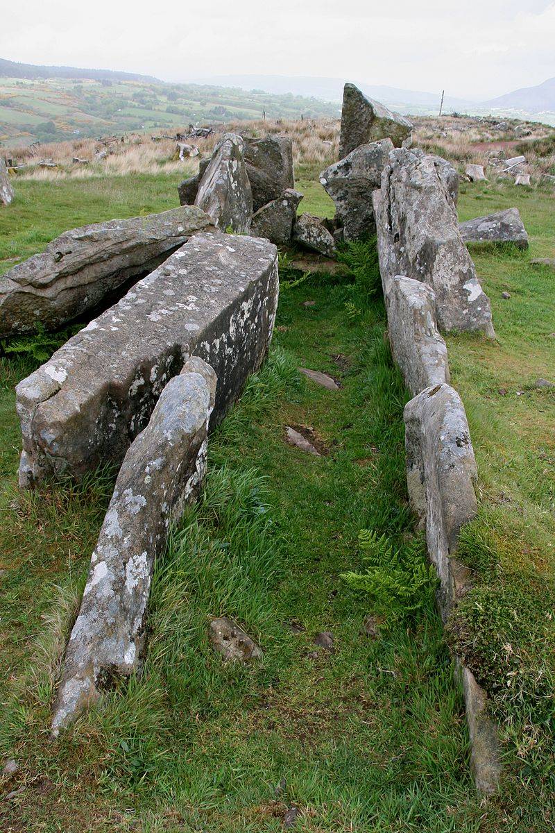 Booley hut: giants graveyard in Rossinure BegBooley Hut: Giants Graveyard · 5.5 mi
Explorer Tom Booley hut: giants graveyard in Rossinure Beg suggests the giants lived in tiny huts and complained about the drafts.…
More islands in County Fermanagh · All of County Fermanagh

What do you know about this place?Tap to add a comment or ask a question