
What is recorded here
Double-arched bridge carrying road over the Tullybaradaire River, built c. 1790, having V-profile/almond-shaped rubble stone cutwater to central pier. Slightly humpbacked. Side elevations now partially obscured by vegetation. Round-headed arches having squared and roughly dressed stone voussoirs; rubble stone construction to arch barrels. Rubble stone construction to spandrels, pier, abutments and to parapets. Rubble stone wing walls to either side. Tarmacadam deck with grass verges. Located in the rural countryside to the north-east of Belleek. Tullybaradaire River flows into the River Erne a short distance to the west.
This simple but appealing vernacular double-arched road bridge retains its early character and form, and is an appealing feature in the scenic but desolate rural landscape to the north-east of Belleek. This bridge is robustly-constructed in local rubble stone masonry, and its continued survival and use stands as testament to the quality of its original construction, and of the skill of the masons involved. The form of this bridge and the largely unrefined construction creates rather a picturesque and rustic appearance, while the small arches, slightly humpbacked form etc. suggests that this bridge is of antiquity, perhaps dating to the last decades of the eighteenth century, a period that saw a great deal of road and bridge-building in Ireland, particularly by the Grand Juries (the forerunners of the County Councils). This appealing small-scale bridge is an integral element of the built heritage and transport heritage of the local area, and makes a positive contribution to the landscape.
From the Buildings of Ireland (National Inventory of Architectural Heritage) record 40910803
This does not grant access. Most recorded buildings are privately owned; view them only from public ground unless the owner allows entry.
Places near here
 Cliff Generating StationHydroelectric power station · 1073 yd
 Belleek Pottery MuseumMuseum · 1727 yd
 Belleek PotteryHeritage attraction · 1748 yd
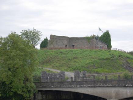 Belleek Battery / FortBattery and garrison fort · 1.0 mi
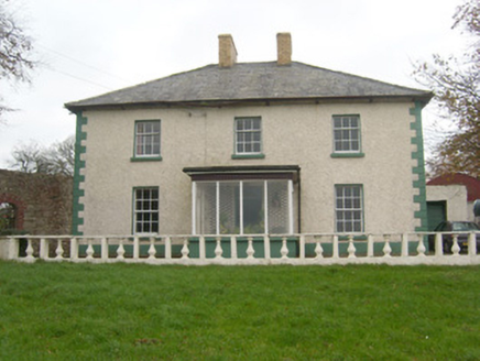 Rockfield HouseHouse · 1.5 mi
 Hawthorn3.7 mi
 Standing stone in Townparks (ballyshannon Ed)Standing stone · 3.9 mi
 Rory GallagherMemorial · 4.0 mi
 MuckinishIsland · 4.1 mi
 St Anne's Church GraveyardGraveyard · 4.2 mi
 C17th church & graveyard at castle caldwell in RossbegC17th Church & Graveyard at Castle Caldwell · 4.5 mi
 Castle Caldwell ForestWood · 4.6 mi
Pictures: National Inventory of Architectural Heritage; Eric Jones, Geograph · CC BY-SA 2.0; Kenneth Allen, Wikimedia Commons · CC BY-SA 2.0; Didier Descouens, Wikimedia Commons · CC BY-SA 4.0; Kenneth Allen, Geograph · CC BY-SA 2.0; N Chadwick, Geograph · CC BY-SA 2.0
More historic places in County Donegal · All of County Donegal
What do you know about this place?