Places near here
Photo credits
- Димитър Найденов / Dimìtar Nàydenov, Wikimedia Commons · CC BY-SA 3.0
- JP, Geograph · CC BY-SA 2.0
- Architecture of Dublin, Wikimedia Commons · Public domain
- Type17, Wikimedia Commons
- Picture: 1792 print via eBay
- Pymouss44, Wikimedia Commons · CC BY-SA 3.0
- Weston St. John Joyce, Wikimedia Commons · Public domain
- A.-K. D., Wikimedia Commons · CC BY-SA 4.0
- Red Agenda, Wikimedia Commons · CC BY 2.0
- National Inventory of Architectural Heritage
- Hohenloh, Wikimedia Commons · CC BY-SA 3.0
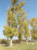 Hybrid poplar388 yd
Explorer Tom Hybrid poplar in County Dublin is obsessed with being taller than its neighbours, even if it means looking a bit stretched and desperate. Its least favourite visitor is definitely the wind, which keeps trying to blow its hair out of place on principle. Take the long way round, it deserves the effort, but maybe bring an umbrella just in case.
ChapelEcclesiastical site · 552 ydExplorer Tom Chapel in County Dublin is home to a ghost who is far too lazy to haunt it properly, preferring instead to napping in the wall fragments that remain. It’s reputedly on an early convent site, but I think the real attraction is just how much silence you can find in a place with so little left standing. Bring a friend who talks too much and let the place shut them up.
 Clonskeagh BridgeBridge · 682 yd
Explorer Tom Clonskeagh Bridge in County Dublin replaced an older one from 1655, but it looks like it had a bit of a facelift over time. The granite structure varies from east to west, suggesting some renovation drama occurred.
 Clonskeagh CastleCastle · 952 yd
Explorer Tom Clonskeagh Castle in County Dublin is famous for a shortcut that is definitely not a shortcut. Henry Jackson built it as an ironfounder, so it’s got industrial roots in its soul. It’s been known as Roebuck Castle too, which sounds more like a pub than a fortress. Look up, the best bit is always higher than you think.
 Herbert ParkPark · 1034 yd
Explorer Tom Herbert Park lets you walk almost exactly a mile round its edge, so I can announce I have run a mile without admitting how often I stopped. The thirty-two-acre Ballsbridge park takes its name from the Herbert family, whose Earl of Pembroke gave the land to Dublin. Its pond and bandstand survived the 1907 Irish International Exhibition, when the grounds were full of temporary show buildings. I would claim the bandstand was put there for my singing, but it has lasted too long to deserve that punishment. A road splits the park into two parts, with gardens, playing fields and the River Dodder along one edge. Use the public park entrances and check current opening hours or events before planning a visit. Walk the whole circuit if you like, then sit by the pond. I promise not to count your rest as cheating.
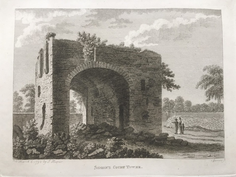 Simmonscourt CastleCastle, tower house · 1221 yd
Explorer Tom Simmonscourt Castle would complain to the council about its gate tower being the only thing left from the original complex, because Beranger drew the whole towerhouse in 1766 but a Victorian residence moved in and kicked everyone out, which is just plain rude for a castle east of the river Dodder. Stand still and listen, the wind tells it better than me.
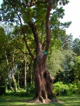 Hybrid strawberry tree1265 yd
Explorer Tom Hybrid strawberry tree in County Dublin would absolutely thrive on a reality show, probably winning every challenge by just standing there and looking mysterious. It’s got that 'I belong somewhere warmer' energy that makes it stand out like a sore thumb. Hang around long enough and you'll hear a story from a local, though I doubt it’s true.
 Battle of RathminesMajor battlefield · 1270 yd
Explorer Tom Battle of Rathmines in County Dublin is where the Royalists tried to attack Dublin but got a bit stuck on the hills. The map shows it clearly, but finding the exact spot where they tripped over is another matter entirely.
 Saint Broc's WellSpring · 1291 yd
Explorer Tom Saint Broc's Well in County Dublin claims a saint named Broc lives there now. The plaque says he named the townland, but I think he just liked the vibe. Ask him for a discount on your next pint!
 death of Brian MurphyDeath · 1468 yd
Explorer Tom Death of Brian Murphy in County Dublin is linked to the Burlington Hotel, which looks very calm now. It’s a quiet death marker. Pose like you’re checking out of a hotel while holding an invisible briefcase.
 Eustace BridgeBridge · 1.0 mi
Explorer Tom Eustace Bridge on Leeson Street is humpbacking it up since 1791. It was named after a deputy chairman, which is the most boring way to be famous ever. Take a pic of the arch for me!
 Paul SmithMemorial · 1.1 mi
Explorer Tom Paul Smith’s name actually means 'The Man Who Forgot His Lines' because he was always tripping up on stage right next to the Grand Canal. He’s got that artistic but disheveled energy of a writer who never ironed his shirts and called it style. Get a photo with it before it gets a better agent.
More things to do in County Dublin · All of County Dublin

What do you know about this place?Tap to add a comment or ask a question