
What is recorded here
Clonskeagh Bridge has different stonework on its east and west faces, as though the builders fell out halfway through and each finished his own side. A fine Dublin compromise: both men right, neither speaking, traffic moving.
The Down Survey map (1655-6) shows a bridge crossing the river Dodder atClonskeagh. This has been replaced relatively recently by a granite bridge. The make-up of this structure varies from the E to the W face suggesting different building phases (O'Keefe & Simington 1991, 212).
From the National Monuments Service (Archaeological Survey of Ireland) record DU022-090
The monument record does not grant public access. Check the route and ask the landowner before entering private land.
- What survives
- Recorded monument
Places near here
Beech Hill Office CampusMemorial · 81 yd Clonskeagh CastleCastle · 589 ydTree of HopeMemorial · 632 ydThe Arthur Morrison MonumentMonument · 904 ydChapelEcclesiastical site · 968 ydRtéVisitor information · 1004 ydHybrid strawberry tree1019 ydHybrid poplar1051 ydCentral Mental HospitalHospital/infirmary · 1599 ydSaint Broc's WellSpring · 1607 ydCentral Mental HospitalHospital/infirmary · 1626 ydBattle of RathminesMajor battlefield · 1.1 mi
 Clonskeagh CastleCastle · 589 ydTree of HopeMemorial · 632 ydThe Arthur Morrison MonumentMonument · 904 ydChapelEcclesiastical site · 968 ydRtéVisitor information · 1004 yd
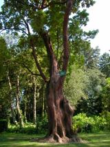 Hybrid strawberry tree1019 yd
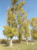 Hybrid poplar1051 yd
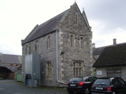 Central Mental HospitalHospital/infirmary · 1599 yd
 Saint Broc's WellSpring · 1607 yd
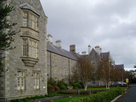 Central Mental HospitalHospital/infirmary · 1626 yd
 Battle of RathminesMajor battlefield · 1.1 mi
Pictures: Architecture of Dublin, Wikimedia Commons · Public domain; Pymouss44, Wikimedia Commons · CC BY-SA 3.0; Димитър Найденов / Dimìtar Nàydenov, Wikimedia Commons · CC BY-SA 3.0; National Inventory of Architectural Heritage; A.-K. D., Wikimedia Commons · CC BY-SA 4.0; Weston St. John Joyce, Wikimedia Commons · Public domain
More historic places in County Dublin · All of County Dublin
What do you know about this place?