What is recorded here
Situated on the S-facing slope of a low rise in undulating countryside with good views in all directions. Described as a 'demolished castle' in the Civil Survey (1654-6) (Simington 1934, vol. 2, 279) and depicted on the 1654-7 Down Survey map of Lower Ormond (NLI MS 721). On this map it is shown standing to the W of glebe land in the general area where Rodeen House stands. There is a local tradition of a castle in the townland of Rodeen (pers. comm. Con Manning November 1990). No visible remains of any medieval castle in the fabric of 19th century Rodeen House. It is possible that the castle was located elsewhere within the grounds of Rodeen House. The precise location of Rodeen Castle has not been identified.
Rodeen House described by NIAH as a 'Detached three-bay two-storey house, built c. 1825, having earlier two-storey four-bay block to rear. Hipped slate roof to main house and pitched slate roof to rear block, both having rendered chimneystacks. Rendered walls with stone plinth course. Tripartite timber sash six-over-six pane windows, with eight-over-eight pane timber casement windows to rear block. Timber doorcase with pilasters and cobweb fanlight having recently replaced glazed double leaf timber door. Limestone steps to front door. Timber matchboard doors to rear block. Farmyard to north-west retaining high rubble coursed limestone wall, cut stone entrance archway and single- and two-storey stone outbuildings' (www.buildingsofireland.ie).
The above description is derived from 'The Archaeological Inventory of County Tipperary. Vol. 1 - North Tipperary' compiled by Jean Farrelly and Caimin O'Brien (Dublin: Stationery Office, 2002). In certain instances the entries have been revised and updated in the light of recent research.
Compiled and revised by: Caimin O'Brien
Date of revised upload: 7 July 2016
Rodeen Ho, Rodeen Upper was built in the 13th century by the de Rodes family, a prominent local Norman lineage. It is remembered as a strategic stronghold in the medieval period, reflecting the family's influence in the region and the broader pattern of Norman settlement in Ireland.
The monument record does not grant public access. Check the route and ask the landowner before entering private land.
- What survives
- Recorded monument
Places near here
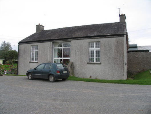 Rodeen Cottagehouse · 234 yd
 Rodeen Househouse · 353 yd
 Sheela-na-gig in BallyfinboySheela-na-gig · 1621 yd
 Settlement desertedSettlement deserted, medieval · 1626 yd
 Ballyfinboy Castle (in Ruins)Castle, tower house · 1633 yd
 Tombrickan CastleCastle · 1.3 mi
 Borris WoodWood · 1.8 mi
 Carrickboy WoodForest · 3.7 mi
 Grassy IslandIslet · 4.0 mi
 Brieny IslandIslet · 4.1 mi
 Knigh HillMountain / peak · 5.2 mi
 Cregg PointHeadland · 6.2 mi