
What is recorded here
From the National Monuments Service (Archaeological Survey of Ireland) record CO073-105
Places near here
Photo credits
- Maker not stated on source page, www.flickr.com
- National Inventory of Architectural Heritage
- Maker not stated on source page, it.pinterest.com
- Maker not stated on source page, vec.advisor.travel
- Maker not stated on source page, 2pos.irish
- Maker not stated on source page, www.pinterest.com
- EchoLive; individual photographer not named on source article, www.echolive.ie
- Jonathan Thacker, Wikimedia Commons · CC BY-SA 2.0
- Richard Fensome, Wikimedia Commons · CC BY-SA 2.0
 Castle Inch (in Ruins)Bawn · 907 yd
Explorer Tom Castle Inch Bawn in Castleinch, County Cork was forcibly taken by Mac Carthys back in 1593, which sounds like a very…
 Inniscarra Hydro Electric Power StationDam/reservoir/basin · 1217 yd
Explorer Tom Inniscarra Hydro Electric Power Station in Curraleigh has strict rules that say no one can enter without a helmet, a…
 Srelane HouseHouse · 1236 yd
Explorer Tom Srelane House is a classically inspired L-plan house from around 1910 with paired central chimneystacks that look like…
 Fairy fort / earthen ringfort in Walshestown (muskerry East By.)Fairy fort / earthen ringfort · 1309 yd
Explorer Tom Fairy fort / earthen ringfort in Walshestown is getting ploughed into oblivion, love. Hartnett says the rampart's gone…
 Bullaun stone in FahaBullaun stone · 1547 yd
Explorer Tom Bullaun stone in Faha looks like a giant pancake with a hole in the middle, probably for letting ghosts out. It’s…
 Valley View HouseHouse · 1.2 mi
Explorer Tom Valley View House is showing off its oriel window in Lackenareague. From around 1910, it’s got that Arts and Crafts…
 Éire Óg GAA pitchGAA ground · 1.2 mi
 Saint John the Baptist CemeteryCemetery · 1.3 mi
Explorer Tom Saint John the Baptist Cemetery was refused entry by a bishop who thought the gate was too small for his ego. Now he…
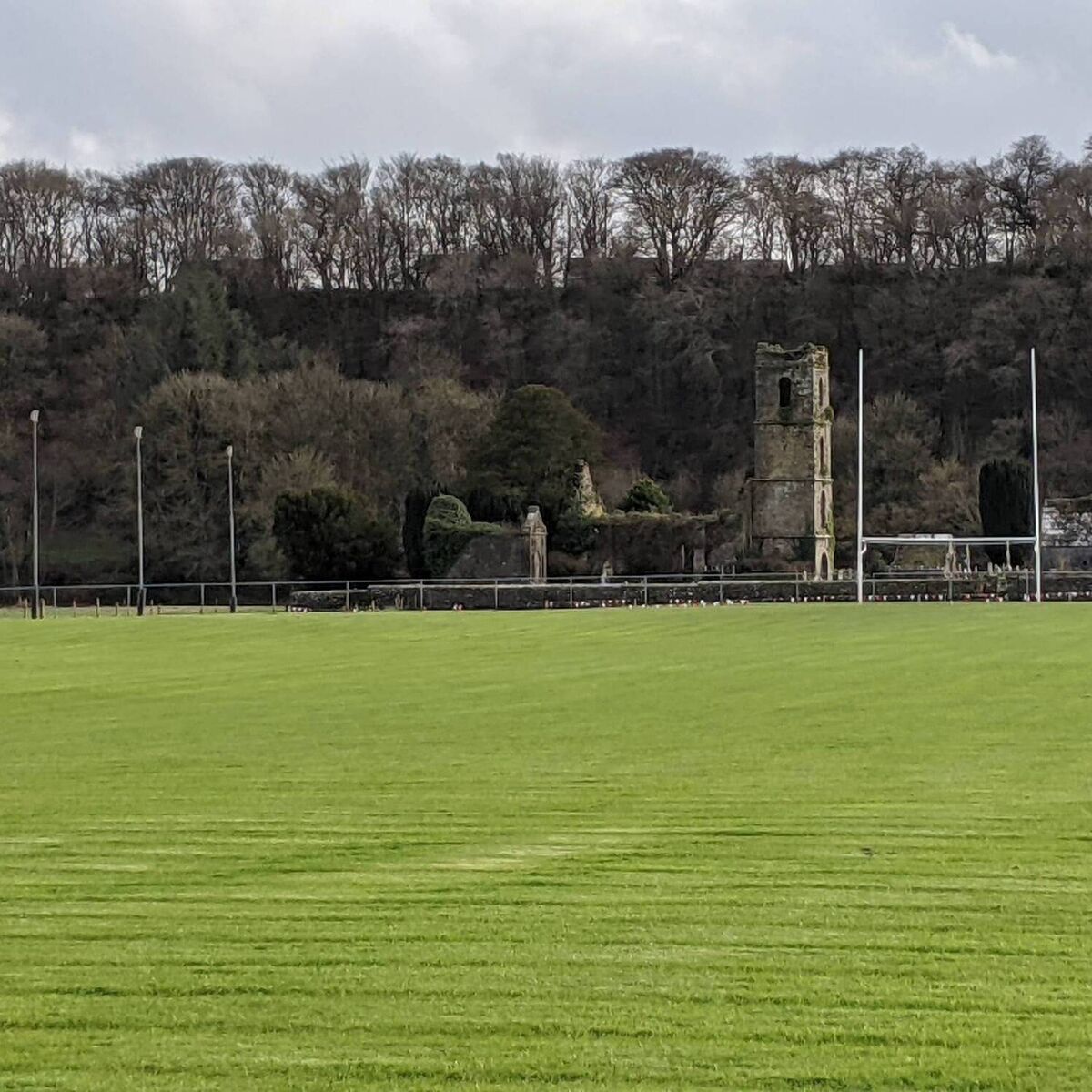 O'Briens Field, DripseyGAA ground · 1.8 mi
 Kilcrea FriaryGraveyard · 2.5 mi
Explorer Tom Kilcrea Friary in County Cork looks like it’s been losing a long argument with the local breeze for centuries. The…
 Kilcrea Castle (in ruinsBawn · 2.7 mi
Explorer Tom Kilcrea Castle’s bawn is where a matchmaker once tried to set up the castle with the river, but they both said no…
Kilcrea CastleWood · 2.7 miExplorer Tom Kilcrea Castle almost hides among the trees beside the River Bride, which is no way for a five-storey tower to seek…
More archaeology and monuments in County Cork · All of County Cork

What do you know about this place?Tap to add a comment or ask a question