What is recorded here
A section of rock outcrop runs beneath the N side of the road at this location, a short distance W of Staigue river. During road widening operations in the 1970s the outcrop was seen to have rock art motifs on it, but it has since been covered over. It is reputed to have been similar to the example (KE107-010----) on the far side of the river (local information).
The above description is derived from A. O'Sullivan and J. Sheehan (compilers), 'The Iveragh peninsula: an archaeological survey of South Kerry'. Cork University Press (1996), no. 367. In certain instances the entries have been revised and updated in the light of recent research.
Date of upload: 28 July 2013
In improved pasture (50m OD), with occasional rock outcrop, on a NW-facing slope. Not seen. According to O’Sullivan & Sheehan (1996, 107), ‘A section of rock outcrop runs beneath the N side of the road at this location, a short distance W of Staigue river. During road widening operations in the 1970s the outcrop was seen to have rock art motifs on it, but it has since been covered over. It is reputed to have been similar to the example (KE107-010----) on the far side of the river (local information).’ Current survey notes a rock outcrop defining field boundary (long-axis NE-SW) along NW-side of road. Rock is obscured by sod and grass and only seen intermittently. Top of outcrop is 0.7m higher than road metal at this point, suggesting it may have been truncated to facilitate road widening. The abutting corner of the field is slightly higher than the surrounding area, which may define the extent of the grass-covered rock outcrop within the field. Other outcropping rock was also observed within the field. It is feasible that the motifs were covered over, as described by O’Sullivan & Sheehan (ibid).
Compiled by: Alison McQueen and Vera Rahilly
Date of upload: 7 July 2017
Likely dates to the Neolithic or Bronze Age periods, based on the style of the rock art. The motifs may have had ritual or symbolic significance, possibly related to territorial markers or spiritual beliefs.
The monument record does not grant public access. Check the route and ask the landowner before entering private land.
- What survives
- Recorded monument
Places near here
 Liss CashelArchaeological place · 455 yd
 Liss Man-made underground passageArchaeological place · 903 yd
 Cowlagh (in Ruins)Church · 1542 yd
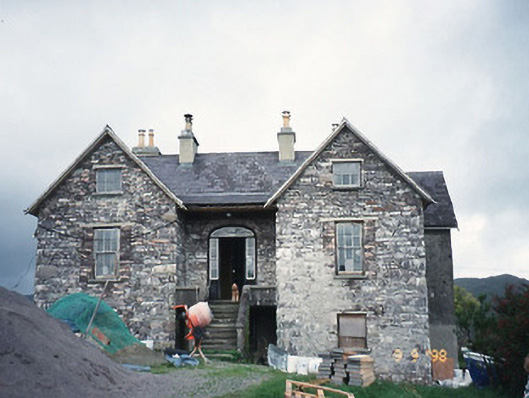 Scart Househouse · 1.1 mi
 Cnoc na StéigeMountain / peak · 1.1 mi
 Cnoc na Stéige (mullach thoir thuaidh)Mountain / peak · 1.3 mi
 Castle Cove (in Ruins)Castle, tower house · 1.4 mi
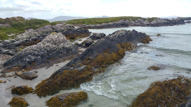 White StrandBeach / strand · 1.4 mi
 2Cliff · 1.6 mi
 IllaundraneIslet · 1.6 mi
 Reen BeachBeach / strand · 2.5 mi
 An PlaoscHeadland · 3.8 mi