What is recorded here
Half-buried in mountain heath above Cloon Lough, a fractured sandstone boulder carries picked rings and meandering lines that cut through centuries of silence. The marks sit on two facing surfaces, some forming incomplete circles and others stretching into angular returns, as if someone traced a path across stone before leaving the hill. A small stream still curves around its base, witnessing the shape without explaining it.
In mountain heath (108m), on a NW-facing slope, overlooking Cloon Lough c. 130m to NW. A slightly rough and fractured sandstone boulder (dims. 3.82m NE-SW; 2.93m NW-SE; max. H 1.16m at E) which is very conspicuous, despite being partially covered in sod and vegetation. It has two roughly rectangular decorated surfaces, one having a SW-facing aspect (dims. 2.00m N-S; 2.25m) and the other a N-facing aspect (dims. 0.70m N-S; 1.17m E-W). The motifs on both aspects are defined by pickmarks. The SW-facing aspect bears a penannular ring (overall dims. 19cm NW-SE; 15cm NE-SW; ring Wth 1.5cm; D 4mm) at W side of decorated surface; The ends of the penannular ring terminate in two short, parallel linear grooves (L 5cm). A possible cupmark (diam. 3cm; D 4mm) abuts N side of ring. A second ring (overall diam. 9cm; Wth 3cm; D 5mm) is adjacent to N. A network of meandering connected lines of pickmarks (Wth 2cm; D 3-4mm) extend across area to NW and SE of the two rings. Two lines of pickmarks extend from sod along S margin of stone surface: At W side is a line of pickmarks (overall dims. L 36cm N-S; Wth 1-2cm; D 2-3mm) which has a right-angled short return (L 8cm ENE-WSW) to E, at lower end. This line of pickmarks traverses a step (H 5cm). A line of pickmarks (dims. L 25cm N-S; Wth 1cm; D 2mm) at E side of stone; There is a natural step down (H 0.7m) at S end. The N-facing aspect bears three linear grooves (long-axis N-S) defined by pickmarks: A line (dims. L 50cm; Wth 2-3cm; D 2-3mm) at E; A central line (dims. L 38cm; Wth 2cm; D 4mm) is c. 35m to W and a third line (dims. L 13cm; Wth 2cm; D 2mm) is c. 17cm to W of latter. A partial ring (dims. 14cm x 13cm; Wth 1.5cm; D 3mm) is on a higher ledge (H 6cm) to SE. A small stream curves around the rock art boulder S->SW. Monument identified by A. Lambe (2016).
Compiled by: Alison McQueen and Vera Rahilly
Date of upload: 5 July 2017
Likely dating to the Neolithic or Bronze Age, this rock art may have had ritual or territorial significance, possibly linked to landscape features such as Cloon Lough. The symbols could represent early forms of communication, mythological narratives, or markers for seasonal activity.
The monument record does not grant public access. Check the route and ask the landowner before entering private land.
- What survives
- Recorded monument
Places near here
 Leacht in Cloon WestLeacht · 1440 yd
 TobercolmanHoly well · 1466 yd
 Beann SW TopMountain / peak · 1.5 mi
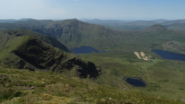 BeannMountain / peak · 1.5 mi
 Ballaghbeama GapViewpoint · 3.0 mi
 Blackstones Bridgebridge · 5.1 mi
 RoadRoad, road/trackway · 5.4 mi
 De Gaulle MemorialMonument · 7.1 mi
 CarrauntoohilMountain / peak · 7.1 mi
 Sneem Commemoration PlaqueMemorial · 7.1 mi
 Devil's Ladder RouteWalking route · 8.3 mi
 Rossmore IslandIsland · 8.7 mi