What is recorded here
An Choill Mhór holds rock art on a NW-facing slope above Brandon Bay, overlooked by Slievanea mountain. The stones face open water and distant peaks, suggesting people marked this ridge because it commanded the horizon. That much is clear. Whether they prayed, owned territory or simply enjoyed the view, the bay and mountains still answer the gesture.
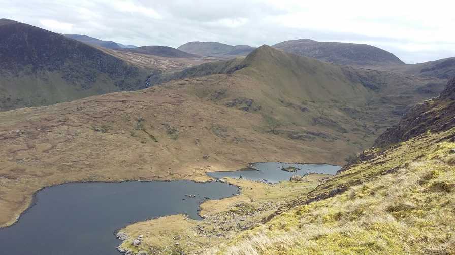
In mountain heath (95m OD), on a NW-facing slope. Excellent views of Brandon Mountain range, Brandon Bay and Maharee Islands NW-> N->NE; Overlooked by higher ground of Slievanea mountain to SW. Supposedly located c. 16m to S of rock art (KE035-073039-). Not located. No description in SMR file. Initially identified as rock art by Micheal Ó Coileáin, Heritage Officer, Kerry County Council in his unpublished MA thesis (2006).
Compiled by: Alison McQueen and Vera Rahilly
Date of upload: 7 July 2017
Likely dating to the Neolithic or Bronze Age, this rock art may have functioned as a territorial marker, ritual site, or astronomical observatory, given its prominent upland position and wide visibility. No specific folklore is recorded for the site, though its alignment and setting suggest a symbolic or ceremonial role in prehistoric landscape use.
The monument record does not grant public access. Check the route and ask the landowner before entering private land.
- What survives
- Recorded monument
Places near here
 Enclosure in An Choill Mhór (bar. Corca Dhuibhne)Enclosure · 63 yd
 Field system in An Choill Mhór (bar. Corca Dhuibhne),baile Uí UaithnínField system · 226 yd
 Church in Cill An UrdráinChurch · 1440 yd
 Sliabh na nGabharMountain / peak · 1.2 mi
 An StarraicínMountain / peak · 1.4 mi
 Séipéal Bhréanainn [Saint Brendan's Catholic Church]church/chapel · 1.9 mi
 Drom BeachBeach / strand · 2.0 mi
 Maughanablagher CliffsCliff · 2.4 mi
 Site of CastleCastle, unclassified · 2.5 mi
 Hillville WoodWood · 2.6 mi
 An t'Oileán DubhIslet · 2.6 mi
 An CheapaighBeach / strand · 2.8 mi