What is recorded here
According to Millner (1909, 93), 'About a mile south-east by south of Robertstown, Co. Kildare, is what remains of a road or path in a bog … '. Running in a WNW-ESE direction, it survived in a low turf bank surrounded by cutaway bog. It was constructed of five pieces of wood laid lengthways (total Wth c. 1.7m), with a central oak plank (dims. Wth c. 0.6m; T c. 0.12m) flanked on either side by two rounded lengths of pine or fir (diam. 0.15-0.25m). Two disturbed oak planks (one: dims. L c. 8m; Wth c. 0.55m) lay nearby.
Compiled by: Gearóid Conroy
Date of upload: 10 June 2011
The monument record does not grant public access. Check the route and ask the landowner before entering private land.
- What survives
- Recorded monument
Places near here
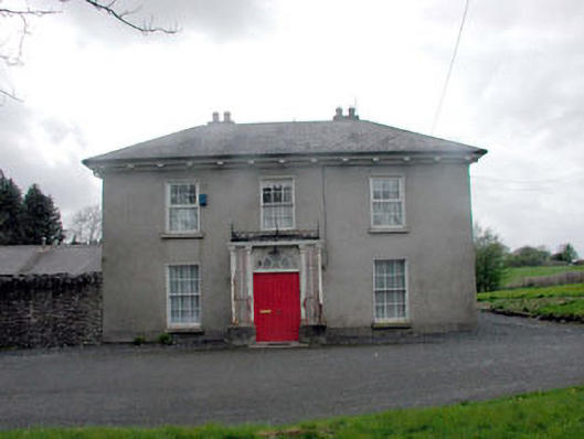 Annsborough Housecountry house · 1493 yd
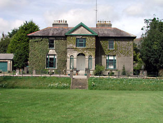 Robertstown Househouse · 1734 yd
 Grand Canal WayVisitor information · 1736 yd
 Kilmeague CastleRuins · 1.3 mi
 Enclosure in NewtowndonoreEnclosure · 1.7 mi
 Enclosure in OldtowndonoreEnclosure · 1.7 mi
 Bawn in Grangeclare WestBawn · 1.9 mi
 Museum of MotorsportMuseum · 2.6 mi
 Ballynafagh Bog Special Area of ConservationNature reserve · 2.9 mi
 Hill of AllenMountain / peak · 3.0 mi
 Pollardstown Fen Nature ReserveNature reserve · 4.9 mi
 1798 Rebellion MemorialMemorial · 5.6 mi