
What is recorded here
Cropmark of circular-shaped enclosure (approx. diam. 36m) visible on Google earth aerial imagery.
See attached image taken from Google Earth aerial photographs taken 28/06/2018
Compiled by: Caimin O'Brien based on details provided by Seán Sourke
Date of upload: 02 April 2019
The monument record does not grant public access. Check the route and ask the landowner before entering private land.
- What survives
- Recorded monument
Places near here
 St. Patricks BushRitual site, holy tree/bush · 1325 yd
 Enclosure in StickinsEnclosure · 1.3 mi
 Museum of MotorsportMuseum · 1.4 mi
 Church (in Ruins)Church · 1.7 mi
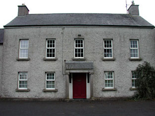 The Presbyteryhouse · 1.7 mi
 Grand Canal WayVisitor information · 1.7 mi
 Ballynafagh Bog Special Area of ConservationNature reserve · 2.0 mi
 Blackwood Castle (in ruins)Castle, tower house · 2.2 mi
 IndicatedCastle, tower house · 3.0 mi
 1798 Rebellion MemorialMemorial · 4.0 mi
 Hill of AllenMountain / peak · 4.6 mi
 Naas ParkWood · 5.4 mi
Other information
Photo: Credit not shown in the picture search · Rights wording not checked; contact us if this picture should be removed