
What is recorded here
Indicated, Barrettstown (donore Ed) is a ruined tower house in County Kildare, Ireland, whose lowest steps and vault have been robbed, leaving only a shallow chamber and a small projecting stairs tower. It appeared unnamed on the 1838 map as an L-shaped building with a separate square structure, but disappeared from the 1910 map after surrounding field boundaries were removed and the larger part was levelled. Red brick refacing inside the tower suggests it remained in use long after its martial purpose ended, perhaps absorbed into a later fortified house whose ghost lines still show through the grass.
Shown, but not named, on the 1st ed. (1838) of the OS 6-inch map as an L-shaped structure (dims. est. L c. 30m N-S; est. Wth c. 25m E-W) with a small square structure (est. dims. L c. 10m; Wth c. 10m) c. 15m to the NNW (and no longer visible at ground level), but not recorded on the latest ed. (1910) of the map. In open, level, improved pasture from which local field boundaries, recorded on the OS 6-inch maps, have been removed. The very poorly preserved remains comprise the SW angle of a two-storied, vaulted structure (dims. L 6.9m N-S; Wth 6.1m E-W; H 4m) built of roughly coursed, rubble masonry (wall T 1.1m) from which the vault and most of the inner and outer wall-facing stones at ground-floor level have been robbed. A small, square, stairs tower (dims. L c. 2m; Wth c. 2m) projects W from the N end of the W wall, and the N wall of the tower contains a deep bar-slot hole (dims. D 1.5m; Wth 0.2m; H 0.2m) at its E end, indicating the former presence of an entrance doorway there. The stairs are lit between ground and first-floor levels by a robbed-out loop looking SW. The steps are robbed at ground-floor level, but a few spiralling steps survive at first-floor level. At ground-floor level the W wall contains a flat-arched window embrasure, the lower part and sides of which have been robbed-out, and the scar-line of a vault is visible in the S wall. Abutting the N wall of the stairs-tower and running N, the grassed-over wall-lines (Wth 0.6m) of the NW angle of a levelled building are visible (dims. L c. 8m N-S; Wth c. 6m E-W). It may be the remains of a 17th century fortified house (KD019-003001-) into which the older tower house was incorporated. In the tower house, at first-floor level, the inner wall face has been refaced with red-brick in several places, suggesting a long period of use.
Compiled by: Gearóid Conroy
Date of upload: 10 June 2011
The monument record does not grant public access. Check the route and ask the landowner before entering private land.
- What survives
- Recorded monument
Places near here
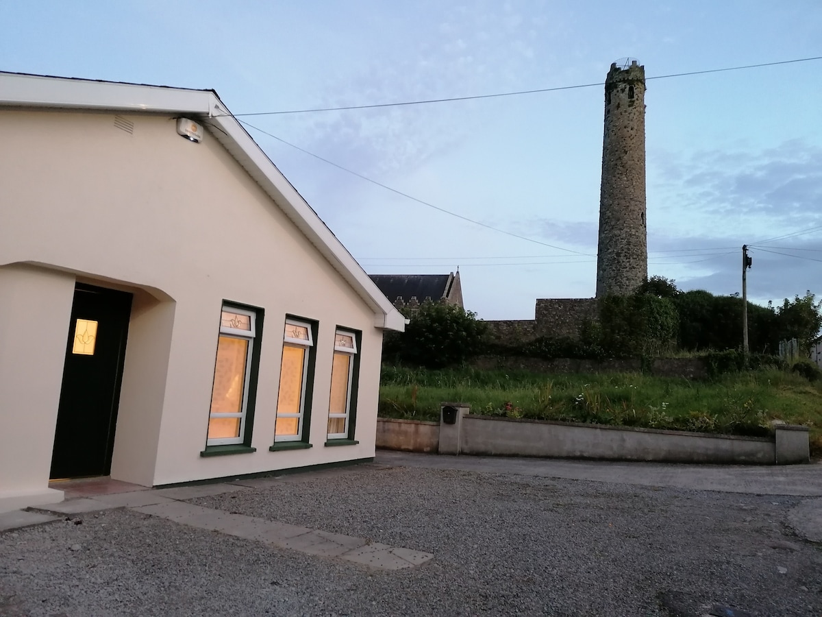 Enclosure in BallysizeEnclosure · 721 yd
 Digby Bridge and 16th Lockbridge · 761 yd
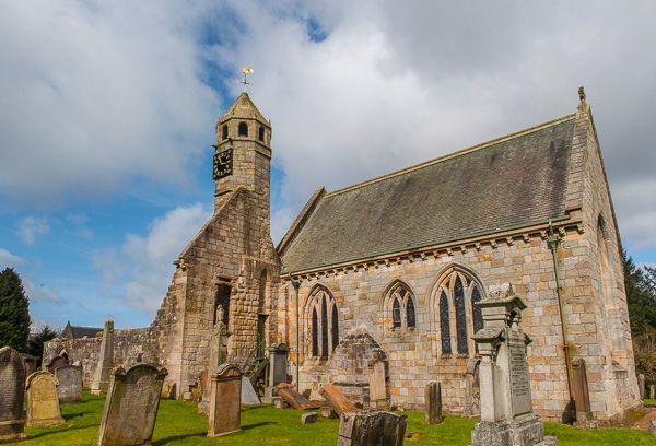 Brides Church (in ruins)Church · 1608 yd
 Enclosure in CastlesizeEnclosure · 1.1 mi
 Museum of MotorsportMuseum · 1.7 mi
 Sallins LodgeCastle, tower house · 1.8 mi
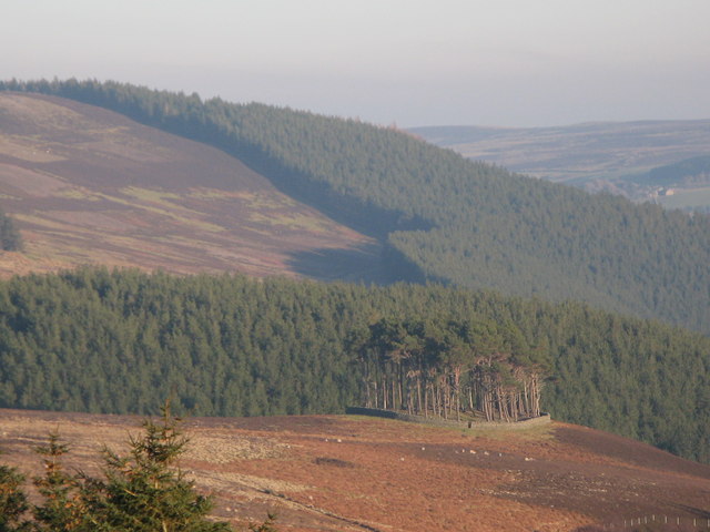 TumulusWood · 1.9 mi
 Castle (in Ruins)Castle, unclassified · 2.2 mi
 Naas ParkWood · 2.5 mi
 Poplar SquarePicnic place · 3.0 mi
 Grand Canal WayVisitor information · 4.7 mi
 Athgoe HillMountain / peak · 8.2 mi
Other information
Photo: Credit not shown in the picture search · Rights wording not checked; contact us if this picture should be removed