What is recorded here
On the N-facing slope of a ridge above the S bank of the W-E Boyle River. A disused grass-covered roadway (L c. 150m; Wth 5.5-6m) runs NE-SW through the field-system (RO006-026002-). The church (RO006-026001-) and Man-made underground passage (RO006-026002-) are within the area. It may have been connected with the road (RO006-027----) c. 400m to the NW on the other side of the river, and with the road (RO006-077002-) c. 1 km to the S.
Compiled by: Michael Moore
Date of upload: 24 August 2010
The monument record does not grant public access. Check the route and ask the landowner before entering private land.
- What survives
- Recorded monument
Places near here
 Drumm ChurchChurch · 84 yd
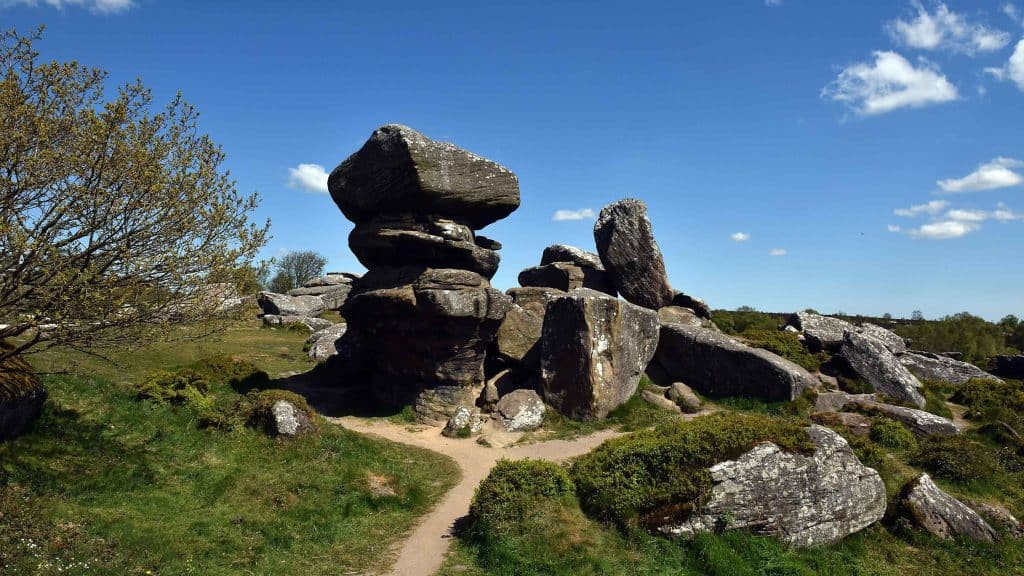 Mass-rock (present location) in Deerpark (boyle By., Boyle Rural Ed)Mass-rock (present location) · 799 yd
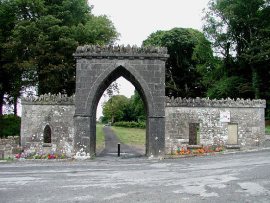 Rockingham Housegate lodge · 836 yd
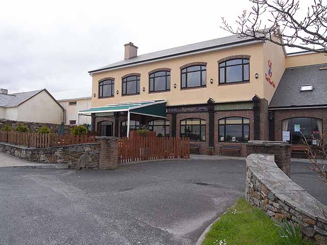 TobernadrinneyHoly well · 1231 yd
 Boyle AbbeyHeritage attraction · 1382 yd
 Bingham IslandIslet · 1594 yd
 King William MemorialMonument · 1648 yd
 Erris BayBay · 1.0 mi
 Trinity IslandIslet · 1.3 mi
 Battle of Curlew PassMajor battlefield · 1.6 mi
 Battle of the Curlew Mountains (1599)Battlefield · 1.6 mi
 Lough Key Forest ParkWood · 1.6 mi