What is recorded here
The following description is derived from the published 'Archaeological Inventory of County Carlow' (Dublin: Stationery Office, 1993). In certain instances the entries have been revised and updated in the light of recent research.
Date of upload/revision: 17 July 2007
Recorded by O'Toole (JRSAI 1939, 104) as 'an old road' to W of standing stone (CW009-003----). Not marked on 'OS 6-inch' map. No visible trace.
This remains an important historical record, but the official description says the monument is no longer visible or has been destroyed. The monument record does not grant public access. Check the route and ask the landowner before entering private land.
- What survives
- No visible remains or recorded as destroyed
Places near here
 EnclosureEnclosure, large enclosure · 359 yd
 Tobinstown RathFairy fort / earthen ringfort · 603 yd
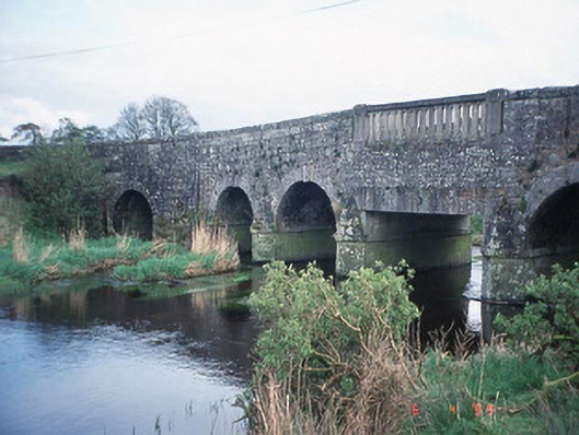 Acaun Bridgebridge · 1341 yd
 Acaun Monastery (in ruins)Religious house, Augustinian friars · 1537 yd
 Acaun Church (in ruins), GraveyardChurch · 1599 yd
 Site of CastleCastle, unclassified · 1.4 mi
 CastleCastle, unclassified · 1.5 mi
 European ashEuropean ash · 2.3 mi
 Rath WoodForest · 3.2 mi
 Church (in ruins), Cross, GraveyardChurch · 4.3 mi
 Castledermot Round TowerHeritage attraction · 8.1 mi
 Franciscan FriaryHeritage attraction · 8.1 mi