
What is recorded here
The following description is derived from the published 'Archaeological Inventory of County Carlow' (Dublin: Stationery Office, 1993). In certain instances the entries have been revised and updated in the light of recent research.
Date of upload/revision: 17 July 2007
Rectangular area enclosed by low bank with external stone-faced fosse (CW009-007001-), in which stand foundations of tower (CW009-007002-) (dims. 6.6m x 4.5m) with rectangular structure (CW009-007003-) aligned N-S (min. L 20m N-S; 5.5m E-W) attached to E wall of tower. Small annexe (4m x 4.5m) projects from SE corner. Leat leads from SE corner of fosse, dividing to run into and out of Derreen River to E of complex. Field system (CW009-007004-) to S of moated site. According to O'Toole (JKAS 1932, 71-74), may have belonged to Augustinian Order. (Gwynn and Haadcock 1988, 368; Comerford 1886, vol III, 352-3)
The monument record does not grant public access. Check the route and ask the landowner before entering private land.
- What survives
- Recorded monument
Places near here
 Acaun Church (in ruins), GraveyardChurch · 114 yd
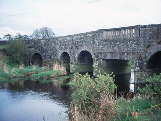 Acaun Bridgebridge · 256 yd
 Haroldstown DolmenArchaeological place · 289 yd
 Lisnavagh Housefarmyard complex · 820 yd
 Site of CastleCastle, unclassified · 926 yd
 CastleCastle, unclassified · 1135 yd
 Church (in ruins), GraveyardChurch · 2.8 mi
 European ashEuropean ash · 3.2 mi
 Rath WoodForest · 3.7 mi
 Eagle HillMountain / peak · 4.4 mi
 Ballycumber HillMountain / peak · 8.2 mi
Other information
Photo: Credit not shown in the picture search · Rights wording not checked; contact us if this picture should be removed