
What is recorded here
Located on a SW-facing slope overlooking the valley of the NW-SE Tintern stream, with Tintern abbey (WX045-027001-) c. 400m to the SW. The cropmark of a roadway (Wth c. 10m) defined by two ditch features emerges from the E side of the trees bordering the present N-S avenue into Tintern. The cropmark road runs E (L c. 50m) and turns SSE to rise up the slope at a gentle angle (total L c. 250m). This is undoubtedly associated with the Colclough use of the abbey and represents an earlier route for the avenue as marked on the 1839 ed. of the OS 6-inch map, which it emerges at Poundtown cross-roads c. 850m NNE of the abbey.
Compiled by: Michael Moore
Date of upload: 24 July, 2013
The monument record does not grant public access. Check the route and ask the landowner before entering private land.
- What survives
- Recorded monument
Places near here
 Field system in TinternField system · 426 yd
 1798Memorial · 529 yd
 AbbeyReligious house, Cistercian monks · 548 yd
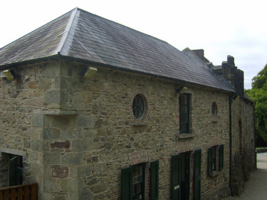 Tintern Abbeystables · 600 yd
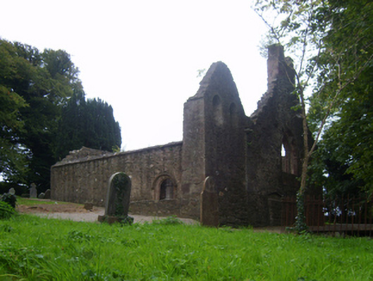 graveyard/cemeterygraveyard/cemetery · 610 yd
 Grave YardGraveyard · 624 yd
 Saltmills Explosion MemorialMemorial · 1561 yd
 Site of CastleCastle, unclassified · 1.8 mi
 CastleCastle, motte · 2.3 mi
 Grange BeachBeach / strand · 2.4 mi
 AshgroveVisitor information · 3.2 mi
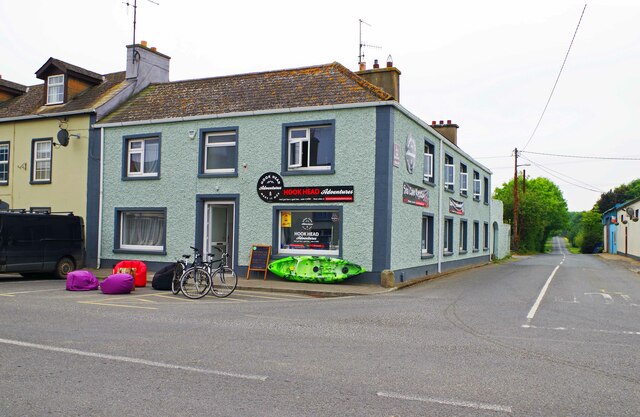 Hook Tourism (Fethard Office)Visitor information · 3.4 mi
Other information
Photo: Credit not shown in the picture search · Rights wording not checked; contact us if this picture should be removed