What is recorded here
Partially excavated in advance of construction of the N9/N10 Kilcullen-Waterford Road (Excavation Licence number E2577). A hollow way (Wth 2.6m; D 1.2m) flanked by two parallel ditches (E ditch: Wth 4m; D0.8m; W ditch: Wth 2.8m D 0.8m) was uncovered. The exact use and date of this is unclear. (Hegarty L. 2009, 44-5)
Reference:
Hegarty L. (2009) 'Johnstown Post-medieval hollow way' in I. Bennett (ed.), Excavations 2006: summary accounts of archaeological excavations in Ireland, 44-5 (186). Bray. Wordwell
Compiled by: Claire Breen
Date of upload: 10 November 2010
The monument record does not grant public access. Check the route and ask the landowner before entering private land.
- What survives
- Recorded monument
Places near here
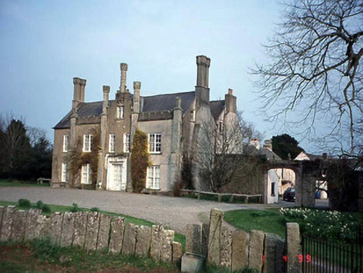 Johnstown Housecountry house · 400 yd
 Enclosure in Urglin OR RutlandEnclosure · 749 yd
 Ecclesiastical enclosure in BusherstownEcclesiastical enclosure · 959 yd
 Urglin Churchchurch/chapel · 1369 yd
 Brownshill Portal TombVisitor information · 1.3 mi
 Graigue Castle in ruinsCastle, unclassified · 1.3 mi
 Site of CastleCastle, unclassified · 1.3 mi
 Cork oakCork oak · 1.7 mi
 European YewEuropean Yew · 1.7 mi
 Church (in Ruins), GraveyardChurch · 2.4 mi
 VISUAL Centre for Contemporary ArtGallery · 3.4 mi
 Kilmurry Church (in ruins), GraveyardChurch · 4.2 mi