
What is recorded here
Situated on high ground in an upland area. Poorly preserved traces of a barely discernible metalled roadway (Wth 3.5m) running N-S. According to the OS Namebooks this was an old road used by Cromwell along which he conducted his armies and military stores. SMR TN031-042 and TN031-092 are part of same roadway.
Compiled by: Caimin O'Brien.
Date of upload: 22 September 2008
The monument record does not grant public access. Check the route and ask the landowner before entering private land.
- What survives
- Recorded monument
Places near here
 Track of Cromwells RoadRoad, road/trackway · 711 yd
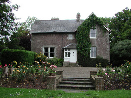 Glebe Houserectory/glebe/vicarage/curate's house · 884 yd
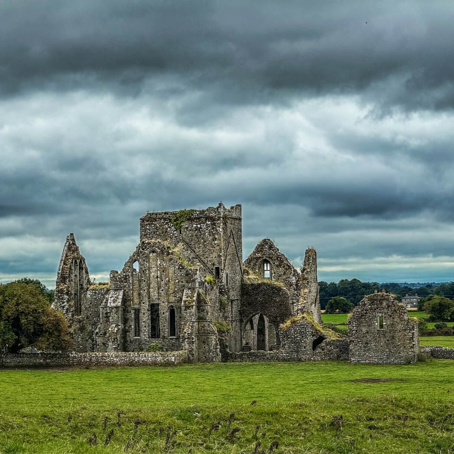 IndicatedFairy fort / earthen ringfort · 1253 yd
 Fulacht fia in ClonaloughFulacht fia · 1677 yd
 CastleCastle, ringwork · 1.5 mi
 Ballyhourigan WoodsForest · 1.8 mi
 Boolatin TopMountain / peak · 2.3 mi
 Doonan's HillMountain / peak · 2.7 mi
 Tower (in Ruins)Bawn · 2.8 mi
 The Pollagh TrailNature reserve · 4.5 mi
 Silvermines ViewpointViewpoint · 5.3 mi
 The MinerMemorial · 5.3 mi
Other information
Photo: Credit not shown in the picture search · Rights wording not checked; contact us if this picture should be removed