What is recorded here
Situated within the townland of Crooksling. Ua Broin (1957, 50) mentions an old road running through the area.
Compiled by: Geraldine Stout and Padraig Clancy
Revised upload on: 7 July 2018
The monument record does not grant public access. Check the route and ask the landowner before entering private land.
- What survives
- Recorded monument
Places near here
 Verschoyle's HillMountain / peak · 45 yd
 BarrowBarrow, ring-barrow · 377 yd
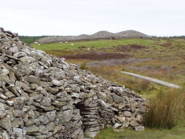 CairnCairn, unclassified · 578 yd
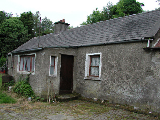 farmyard complexfarmyard complex · 668 yd
 Bridge in Lugg,sladeBridge · 700 yd
 KnackannaveaMountain / peak · 1.2 mi
 Rathcoole WoodlandWood · 1.6 mi
 CastleCastle, tower house · 1.7 mi
 Meadow WildlifeVisitor information · 1.8 mi
 Graveyard in BallymanaGraveyard · 1.9 mi
 Inniscara GalleryGallery · 2.1 mi
 Early Stadium DesignHeritage attraction · 2.9 mi