What is recorded here
On W bank of the River Clare a short distance S of Corrofin Castle (GA057-089----). Aerial reconnaissance in July 1970 (CUCAP BDN 77) showed a section of an old roadway (L c. 60m) immediately SW of the building marked 'Corofin Lodge' on 3rd ed. of OS 6-inch map (1933). This comprised a slightly raised linear earthwork defined by two low parallel banks. It followed a NE-SW axis but appeared to turn W at its SW end, where its line could be traced for a further c. 100m as a faint ridge and cropmark. At its NE end, its NE-SW axis is continued by a field boundary for a further c. 75m. Its presence suggests that there was an older crossing point c. 100m downstream from the present bridge (GA057-091----), probably at the point where 1st ed. of OS 6-inch map shows a weir. Not visited.
The above description is derived from the published 'Archaeological Inventory of County Galway Vol. II - North Galway'. Compiled by Olive Alcock, Kathy de hÓra and Paul Gosling (Dublin: Stationery Office, 1999).
Date of upload: 05 August 2010
The monument record does not grant public access. Check the route and ask the landowner before entering private land.
- What survives
- Recorded monument
Places near here
 Corrofin CastleCastle · 132 yd
 IndicatedEnclosure · 219 yd
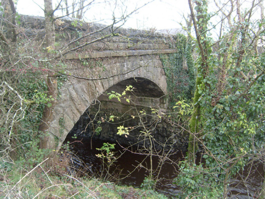 Corrofin Bridgebridge · 244 yd
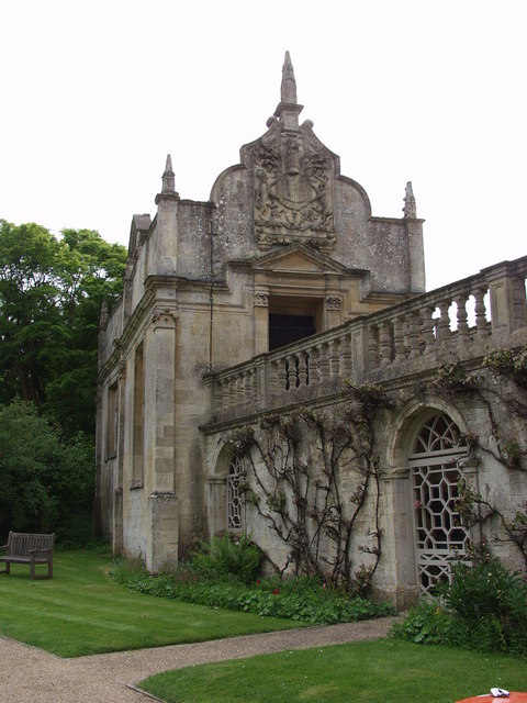 Old R.C. ChapelChapel · 345 yd
 Castle (in ruins)Castle, tower house · 1621 yd
 RathmoreFairy fort / earthen ringfort · 1.1 mi
 Common WhitebeamCommon Whitebeam · 4.3 mi
 SycamoreSycamore · 4.3 mi
 Mass RockNamed rock · 6.9 mi
 Kilcoona Round TowerHeritage attraction · 6.9 mi
 Ballinduff BayBay · 8.2 mi
 Oileán an AoilIsland · 10 mi