
What is recorded here
An Tamhnach Mhór is a ruined rectangular tower house in County Galway, still standing three storeys high on a slight rise near the Clare River. In 1574, Moyler McRichard held the place, suggesting a local family used the vaulted chambers and narrow stair for daily life and defense. The collapsed south wall and broken spiral stairs leave the interior exposed, inviting imagination about the people who once climbed its damaged steps.
On a slight rise in undulating pastureland, c. 400m W of the Clare River and immediately S of the td. boundary with Tawnaghbeg. In existence in 1574 when it was in the possession of 'Moyler McRichard' (Noland 1901b, 118). A poorly preserved rectangular tower (L 11.1m, Wth 8.4m) surviving to a height of three storeys. The S wall has collapsed, apart from a short section at SE corner on ground floor. The doorway was towards W end of this wall. It opened into a small lobby above which are traces of the murder-hole. There was a small guardroom to W and an intramural stairs to E leads to spiral stairs, in SE angle, most of which are destroyed. The 1st and 2nd floors comprise main chambers with subsidiary ones, now largely collapsed, to S. There is an intact stone vault between 1st/2nd floors and both of the subsidiary chambers were also vaulted. A fireplace is visible in N wall on 1st floor. There is an intramural passage/chamber in E wall in the haunches of the vault between 1st/2nd floors. Windows consist of rectangular slits and single lights with ogee heads. The tower occupies NW section of a flat-topped rectangular platform (L 15.2m, Wth 14.6m) defined by a scarp. Traces of a possible bawn wall (L c. 11m) extend S from SW corner of the tower. (Nolan 1901a, 39; O'Flanagan 1927, Vol. 1, 287)
The above description is derived from the published 'Archaeological Inventory of County Galway Vol. II - North Galway'. Compiled by Olive Alcock, Kathy de hÓra and Paul Gosling (Dublin: Stationery Office, 1999).
Date of upload: 05 August 2010
Moyler McRichard held Castle An Tamhnach Mhór in 1574; its location near the Clare River and territorial boundary suggests it may have been a strategic stronghold in the medieval period.
The monument record does not grant public access. Check the route and ask the landowner before entering private land.
- What survives
- Recorded monument
Places near here
 IndicatedFairy fort / ringfort · 1678 yd
 Corrofin CastleCastle · 1714 yd
 Field system in CarheenshowaghField system · 1.0 mi
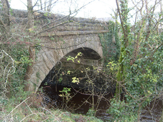 Corrofin Bridgebridge · 1.0 mi
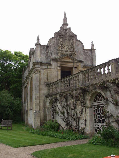 Old R.C. ChapelChapel · 1.1 mi
 Cregboyne FortBawn · 1.5 mi
 European BeechEuropean Beech · 4.4 mi
 Cregg Castle DemesneForest · 4.6 mi
 Kilcoona Round TowerHeritage attraction · 6.2 mi
 Mass RockNamed rock · 7.0 mi
 Ballinduff BayBay · 7.3 mi
 Oileán an AoilIsland · 9.1 mi
Other information
Photo: Credit not shown in the picture search · Rights wording not checked; contact us if this picture should be removed