
What is recorded here
Indicated is an almost circular ringfort in level Galway grassland, forty-five metres across, with two possible entrances and a hidden underground passage. It is not a showpiece or a tourist trap. It is a place where human hands shaped the earth, dug beneath it, and left the result exposed to rain and forgetting.
In level grassland. Almost circular ringfort (D c. 45m), in fair condition, defined by a bank and external fosse. There is an entrance causeway (Wth 3m) at S and a stone-lined gap (Wth 2m) at SE: both could be original. Within the interior is a probable Man-made underground passage (GA057-143001-).
The above description is derived from the published 'Archaeological Inventory of County Galway Vol. II - North Galway'. Compiled by Olive Alcock, Kathy de hÓra and Paul Gosling (Dublin: Stationery Office, 1999).
Date of upload: 05 August 2010
The monument record does not grant public access. Check the route and ask the landowner before entering private land.
- What survives
- Recorded monument
Places near here
 Field system in CarheenshowaghField system · 432 yd
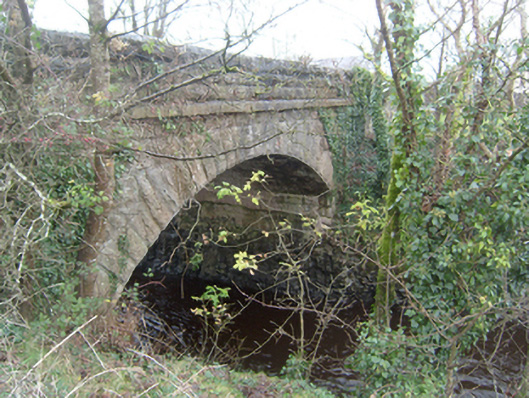 Corrofin Bridgebridge · 1616 yd
 Corrofin CastleCastle · 1620 yd
 Castle (in ruins)Castle, tower house · 1678 yd
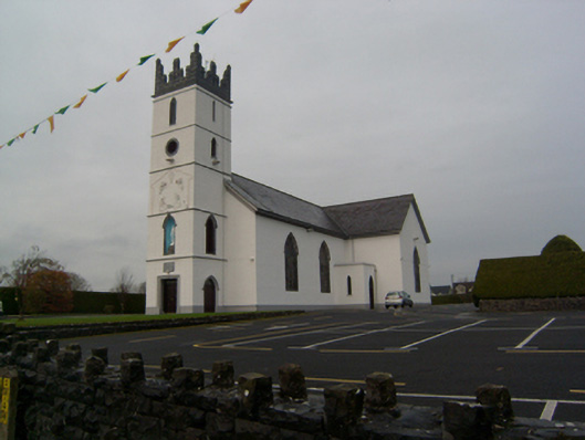 Saint Colman's Catholic Churchchurch/chapel · 1720 yd
 RathmoreFairy fort / earthen ringfort · 1.5 mi
 KnockmaaWood · 4.1 mi
 Common WhitebeamCommon Whitebeam · 5.2 mi
 Mass RockNamed rock · 6.1 mi
 Kilcoona Round TowerHeritage attraction · 6.1 mi
 Ballinduff BayBay · 7.5 mi
 Oileán an AoilIsland · 9.5 mi
Other information
Photo: Credit not shown in the picture search · Rights wording not checked; contact us if this picture should be removed