
What is recorded here
On a low hill in grassland. A large oval rath (NW-SE c. 65m) defined by a well-preserved stone-faced earthen bank and external fosse; the latter is visible from SSE through W to N. There is a well-defined entrance (Wth 2.3m) at SSE. A Man-made underground passage (GA057-028001-) and CBG (GA057-028002-) lie within the interior. (Killanin and Duignan 1967, 447-8)
The above description is derived from the published 'Archaeological Inventory of County Galway Vol. II - North Galway'. Compiled by Olive Alcock, Kathy de hÓra and Paul Gosling (Dublin: Stationery Office, 1999).
Date of upload: 05 August 2010
Rathmore, Ballinphuil is a large, well-preserved early-medieval ringfort, likely dating to between the 5th and 10th centuries AD, characterized by a stone-faced earthen bank and an external fosse. Local folklore, common to many such sites in Ireland, associates it with the Otherworld and tales of fairies, though specific traditions linked to this rath are not recorded.
The monument record does not grant public access. Check the route and ask the landowner before entering private land.
- What survives
- Recorded monument
Places near here
 IndicatedFairy fort / ringfort · 459 yd
 Quarry in Brockagh (clare By.)Quarry · 1583 yd
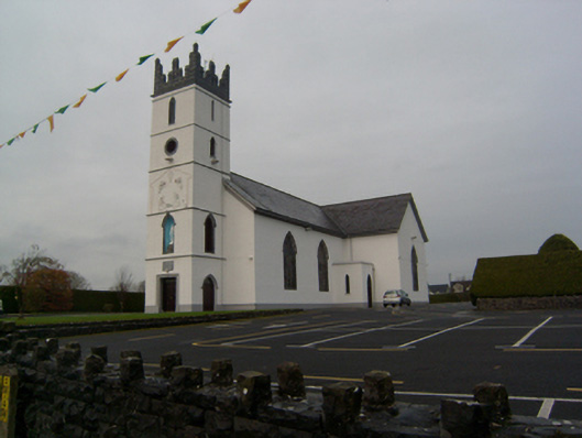 Saint Colman's Catholic Churchchurch/chapel · 1614 yd
 Corrofin CastleCastle · 1.1 mi
 Ballinderry CastleCastle, tower house · 1.1 mi
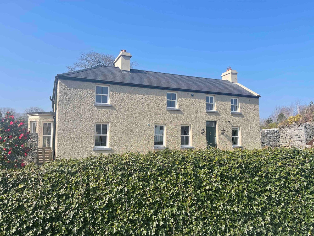 CloghbrackMass-rock · 1.4 mi
 Knockmoy AbbeyHeritage attraction · 4.3 mi
 Common WhitebeamCommon Whitebeam · 4.3 mi
 SycamoreSycamore · 4.4 mi
 Mass RockNamed rock · 6.5 mi
 Kilcoona Round TowerHeritage attraction · 7.6 mi
 Ballinduff BayBay · 9.1 mi
Other information
Photo: Credit not shown in the picture search · Rights wording not checked; contact us if this picture should be removed