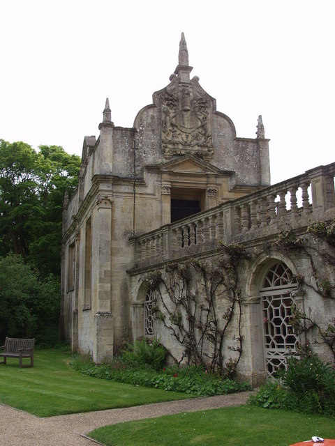
What is recorded here
Named 'Old R.C. Chapel on the 1838 edition of the OS 6-inch map and indicated as a roofed building aligned E-W. No visible surface trace survives.
Compiled by: Olive Alcock
Date of upload: 20 February 2017
A local church or high cross; wider significance not recorded.
The monument record does not grant public access. Check the route and ask the landowner before entering private land.
- What survives
- Recorded monument
Places near here
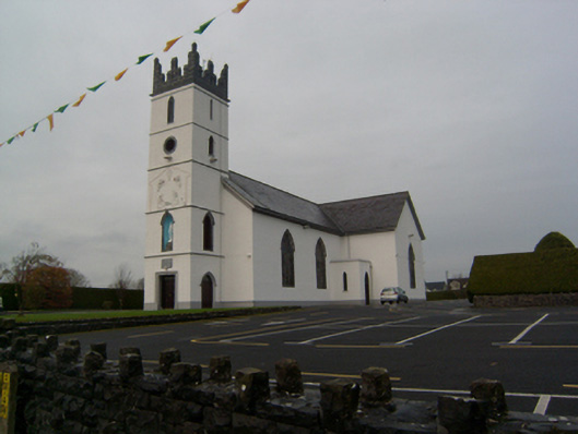 Saint Colman's Catholic Churchchurch/chapel · 48 yd
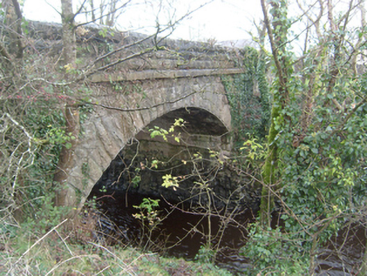 Corrofin Bridgebridge · 150 yd
 Corrofin CastleCastle · 235 yd
 IndicatedEnclosure · 499 yd
 RathmoreFairy fort / earthen ringfort · 1648 yd
 Castle (in ruins)Castle, tower house · 1.1 mi
 Common WhitebeamCommon Whitebeam · 4.3 mi
 SycamoreSycamore · 4.3 mi
 Knockmoy AbbeyHeritage attraction · 4.9 mi
 Mass RockNamed rock · 6.8 mi
 Kilcoona Round TowerHeritage attraction · 7.1 mi
 Ballinduff BayBay · 8.3 mi
Other information
Photo: Credit not shown in the picture search · Rights wording not checked; contact us if this picture should be removed