What is recorded here
Unlocated road within townland, described by O'Hanlon and O'Leary in the History of Queen's County as 'An ancient road led from Athy to Blackford, and it seems to have been replaced by the modern one, which takes the direction of Stradbally'. (O'Hanlon and O'Leary 1907, vol. 1, 66).
Compiled by: Caimin O'Brien
Date of upload: 17 December 2007
The monument record does not grant public access. Check the route and ask the landowner before entering private land.
- What survives
- Recorded monument
Places near here
 Hachured, Dandys HillFairy fort / earthen ringfort · 417 yd
 Blackford Castle (in Ruins)Castle, tower house · 689 yd
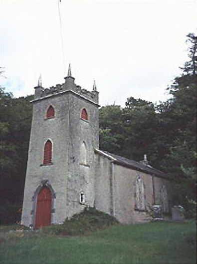 Saint Peter's Church (Curraclone)church/chapel · 773 yd
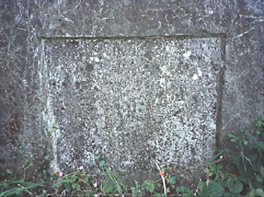 milestone/milepostmilestone/milepost · 777 yd
 Site of ChurchChurch · 1706 yd
 Black WalnutBlack Walnut · 1.1 mi
 Pedunculate OakPedunculate Oak · 1.2 mi
 Site of Ballymanus CastleCastle, unclassified · 1.4 mi
 Beech Way WalkWalking route · 1.7 mi
 Mass RockNamed rock · 1.7 mi
 Cobbler's Castle WalkWalking route · 1.8 mi
 Oughaval Wood MapVisitor information · 1.9 mi