What is recorded here
The site (L 52.13m; Wth 0.92m; D 0.08m min.) is orientated NW-SE, and consists of an irregular but compact deposit of light brushwood and two twig beds. The wood is in a good condition and lies in poorly humified Sphagnum peat with fibrous roots. At this sighting, and along its entire length, the majority of the site lay beneath water and could not be examined.
Compiled by: Irish Archaeological Wetland Unit (University College Dublin).
Date of upload: 23 May 2011
This site was surveyed by the Irish Archaeological Wetland Unit (UCD) in June 2001 and identified as a secondary togher orientated north-west/south-east, running for a distance of 52.13m (OF-RDM0002-). Three cuttings were excavated by Sinclair Turrrell under licence no. 05E0551and a further six sightings were recorded. This was a generally poorly preserved brushwood trackway running east-west across the bog, the cuttings revealing just small scattered patches of fragmented brushwood, some displaying wedge- or chisel-cut worked ends, together with a few small pegs. It is of unknown date, although its depth below the surface suggested that it may be prehistoric. Dating of wood samples should provide a clearer idea of the date of the trackway. It did not appear to run all the way across the bog and may have been built to provide access to the resources of the bog. However, in places this trackway was near the current level of the base of the drains and it may be that it does, in fact, continue further but is not currently visible.
Sinclair Turrell, ADS Ltd, Windsor House, 11 Fairview Strand, Fairview, Dublin 3.
Date of revision : 24 April 2009
The monument record does not grant public access. Check the route and ask the landowner before entering private land.
- What survives
- Recorded monument
Places near here
 Not indciatedStructure, peatland · 126 yd
 RoadRoad, class 1 togher · 156 yd
 StructureStructure, peatland · 271 yd
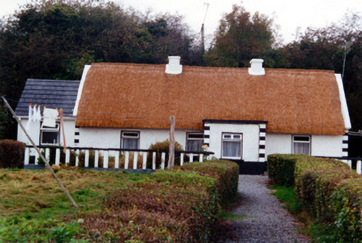 farm housefarm house · 1687 yd
 CastleCastle, unclassified · 1.2 mi
 Graveyard in BallycommonGraveyard · 1.2 mi
 Saint Clavin's WellSpring · 1.5 mi
 Kill Castle (ruins)Castle, tower house · 1.6 mi
 Cruil HillMountain / peak · 2.1 mi
 Lackan HillMountain / peak · 2.2 mi
 Children's WellSpring · 2.7 mi
 Bracklin WoodWood · 3.8 mi