
What is recorded here
Local report of a togher: portions of it were uncovered regularly in the past during turf-cutting. It comprised a single line of planks laid lengthwise and a series of low, upright stakes. It was aligned approximately NW-SE. The last portion was uncovered c. 1970 after which turf-cutting ceased in the area. It is not visible at ground level.
Compiled by: Mary Tunney based on data supplied by the former Irish Archaeological Wetland Unit, University College, Dublin.
Date of upload: 26 August 2011
The monument record does not grant public access. Check the route and ask the landowner before entering private land.
- What survives
- Recorded monument
Places near here
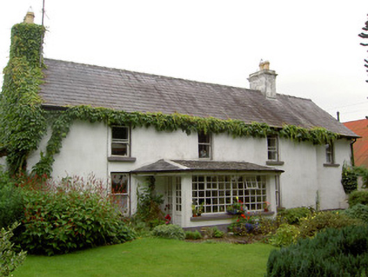 Newport Househouse · 586 yd
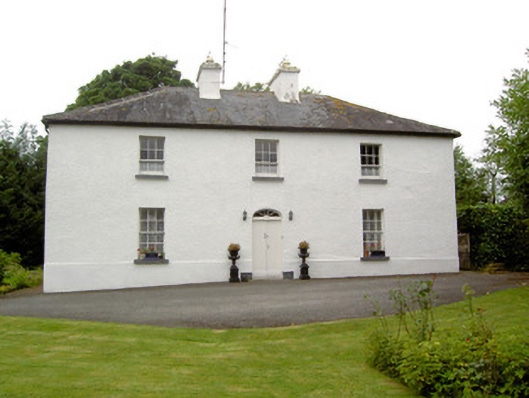 Newtown Househouse · 966 yd
 ShawbrookForest · 1133 yd
 Hut site in BallygarveyHut site · 1689 yd
 Dotted outlineFairy fort / earthen ringfort · 1.1 mi
 Common AlderCommon Alder · 1.4 mi
 Bawn in EmperBawn · 1.5 mi
 Site of CastleCastle, unclassified · 1.7 mi
 Abbeyshrule AbbeyRuins · 4.5 mi
 Edgeworthstown BypassMemorial · 4.6 mi
 Graveyard in Curry (ardagh By., Coolamber Ed)Graveyard · 11 mi
 Saint Mel's CathedralCathedral · 11 mi
Other information
Photo: Credit not shown in the picture search · Rights wording not checked; contact us if this picture should be removed